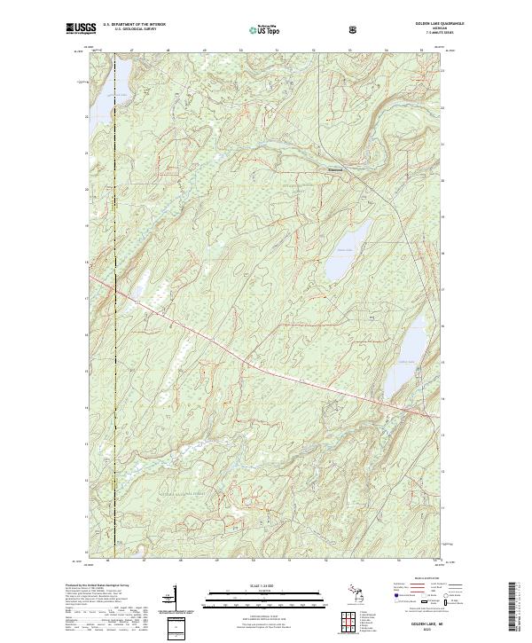
2023 Map of Golden Lake
USGS Topo · Published 2023About this map
The Paint Wild and Scenic River meanders across the northern reaches of this Iron County landscape, defining the character of the Ottawa National Forest. This protected corridor follows the winding path of the South Branch Paint River as it flows toward the small settlement of Elmwood. The map captures a region dominated by glacial lakes and a complex network of forest service roads and trails, such as Nfst-4201 Trl, which penetrate the deep timber of the Upper Peninsula.
Find a feature on this map
79 named features on this map. Tap any name to fly to it.
Don’t see what you’re looking for? This feature index may not catch every label — zoom into the map to look around manually.
Map Details
Editions of this 2023 Golden Lake Map
This is the sole edition of this map. No revisions or reprints were ever made.
Other maps of this area

1938 · Phelps
USGS Topo · 1:48,000

1950 · Phelps
USGS Topo · 1:48,000

1952 · Watersmeet
USGS Topo · 1:62,500

1954 · Kenton
USGS Topo · 1:62,500

1956 · Beechwood
USGS Topo · 1:62,500

1956 · Phelps
USGS Topo · 1:62,500

1958 · Iron River
USGS Topo · 1:250,000

1960 · Iron River
USGS Topo · 1:250,000

1961 · Iron River
USGS Topo · 1:250,000

1967 · Iron River
USGS Topo · 1:250,000