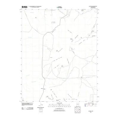
2010 Map of Golden
USGS Topo · Published 2010About this map
Golden and its surrounding mining history dominate this high-desert landscape in Santa Fe County. The town is situated at a crossroads near the Golden Cemetery, where the terrain transitions into the rugged Ortiz Mountains and the San Pedro Mountains. Evidence of the area's extraction history is visible through numerous named prospects including the Ortiz Mine, Gypsy Queen Mine, and the Iron Princess.
Find a feature on this map
46 named features on this map. Tap any name to fly to it.
Don’t see what you’re looking for? This feature index may not catch every label — zoom into the map to look around manually.
Map Details
Editions of this 2010 Golden Map
This is the sole edition of this map. No revisions or reprints were ever made.
Other maps of this area

1892 · San Pedro
USGS Topo · 1:125,000

1954 · Sandia Park
USGS Topo · 1:24,000

1954 · San Pedro
USGS Topo · 1:24,000

1954 · San Felipe Pueblo NE
USGS Topo · 1:24,000

1954 · Hagan
USGS Topo · 1:24,000

1954 · San Felipe Pueblo
USGS Topo · 1:62,500

1956 · Edgewood
USGS Topo · 1:62,500

1958 · Albuquerque
USGS Topo · 1:250,000

1961 · Madrid
USGS Topo · 1:62,500

1962 · Albuquerque
USGS Topo · 1:250,000