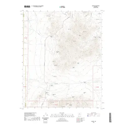
2020 Map of Golden
USGS Topo · Published 2020About this map
The settlement of Golden lies at the base of the San Pedro Mountains, a region characterized by its historical mineral significance and rugged drainage systems. This 2020 survey details the complex network of arroyos that define the local hydrology, including Arroyo Val Verde and Arroyo Tuerto. For genealogists and local historians, the San Francisco Catholic Church Cem serves as a primary landmark within the town's perimeter, while the surrounding landscape is marked by the high elevations of Placer Mtn and the Ortiz Mountains.
Find a feature on this map
57 named features on this map. Tap any name to fly to it.
Don’t see what you’re looking for? This feature index may not catch every label — zoom into the map to look around manually.
Map Details
Editions of this 2020 Golden Map
This is the sole edition of this map. No revisions or reprints were ever made.
Other maps of this area

1892 · San Pedro
USGS Topo · 1:125,000

1954 · Sandia Park
USGS Topo · 1:24,000

1954 · San Pedro
USGS Topo · 1:24,000

1954 · San Felipe Pueblo NE
USGS Topo · 1:24,000

1954 · Hagan
USGS Topo · 1:24,000

1954 · San Felipe Pueblo
USGS Topo · 1:62,500

1956 · Edgewood
USGS Topo · 1:62,500

1958 · Albuquerque
USGS Topo · 1:250,000

1961 · Madrid
USGS Topo · 1:62,500

1962 · Albuquerque
USGS Topo · 1:250,000