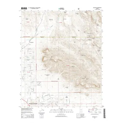
2014 Map of Goldfield
USGS Topo · Published 2014About this map
Apache Junction serves as the gateway to the high desert, where the residential expansion of the early 21st century meets the protected wilderness of the Tonto National Forest. The map illustrates a landscape of extreme vertical relief, dominated by the legendary Superstition Mountains and the sheer verticality of The Flatiron. While the southwestern corner shows a developing grid of streets like E Shiprock St and E Superstition Blvd, the rest of the quadrangle is defined by the complex drainage systems of La Barge Canyon and Needle Canyon. Local history and geology are intertwined at the Goldfield and Youngberg sites, reflecting the area's mining heritage. These settlements are positioned along State Hwy 88, also known as the N Apache Trl, which winds through the Goldfield Mountains toward the interior of the range.
Find a feature on this map
97 named features on this map. Tap any name to fly to it.
Don’t see what you’re looking for? This feature index may not catch every label — zoom into the map to look around manually.
Map Details
Editions of this 2014 Goldfield Map
This is the sole edition of this map. No revisions or reprints were ever made.
Other maps of this area

1900 · Florence
USGS Topo · 1:125,000

1902 · Florence
USGS Topo · 1:125,000

1904 · Desert Well
USGS Topo · 1:62,500

1904 · Ft. McDowell
USGS Topo · 1:62,500

1906 · Ft. McDowell
USGS Topo · 1:62,500

1906 · Desert Well
USGS Topo · 1:62,500

1907 · Roosevelt
USGS Topo · 1:125,000

1909 · Four Peaks
USGS Topo · 1:125,000

1912 · Roosevelt
USGS Topo · 1:125,000

1930 · Cave Creek
USGS Topo · 1:125,000