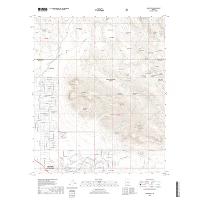
2018 Map of Goldfield
USGS Topo · Published 2018About this map
Apache Junction serves as the gateway to the high desert, where modern residential development meets the protected wilderness of the Tonto National Forest. The street grid, including E Superstition Blvd and E Southern Ave, pushes against the jagged foothills of the Goldfield Mountains and the Superstition Mountains. The map highlights the settlement of Youngberg near Weekes Wash, situated at the threshold of a landscape defined by deep drainages and volcanic peaks.
Find a feature on this map
114 named features on this map. Tap any name to fly to it.
Don’t see what you’re looking for? This feature index may not catch every label — zoom into the map to look around manually.
Map Details
Editions of this 2018 Goldfield Map
This is the sole edition of this map. No revisions or reprints were ever made.
Other maps of this area

1900 · Florence
USGS Topo · 1:125,000

1902 · Florence
USGS Topo · 1:125,000

1904 · Desert Well
USGS Topo · 1:62,500

1904 · Ft. McDowell
USGS Topo · 1:62,500

1906 · Ft. McDowell
USGS Topo · 1:62,500

1906 · Desert Well
USGS Topo · 1:62,500

1907 · Roosevelt
USGS Topo · 1:125,000

1909 · Four Peaks
USGS Topo · 1:125,000

1912 · Roosevelt
USGS Topo · 1:125,000

1930 · Cave Creek
USGS Topo · 1:125,000