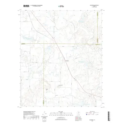
2019 Map of Goldsboro
USGS Topo · Published 2019About this map
Goldsboro sits at the center of this rural landscape, marking a cross-county intersection where Taylor, Runnels, Coleman, and Callahan counties meet. The terrain is defined by prominent elevations such as Jim Ned Peak and Chandlers Peak, which overlook a network of seasonal drainages including Jim Ned Cr and the S Fork Jim Ned Cr. These waterways are central to the region's agricultural infrastructure, evidenced by the Soil Conservation Service Site 12c Reservoir and other water management features.
Find a feature on this map
47 named features on this map. Tap any name to fly to it.
Don’t see what you’re looking for? This feature index may not catch every label — zoom into the map to look around manually.
Map Details
Editions of this 2019 Goldsboro Map
This is the sole edition of this map. No revisions or reprints were ever made.
Other maps of this area
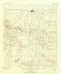
1890 · Abilene
USGS Topo · 1:125,000
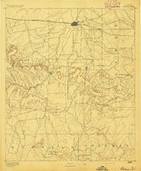
1892 · Abilene
USGS Topo · 1:125,000
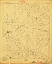
1892 · Ballinger
USGS Topo · 1:125,000

1954 · Brownwood
USGS Topo · 1:250,000

1954 · Abilene
USGS Topo · 1:250,000

1958 · Abilene
USGS Topo · 1:250,000
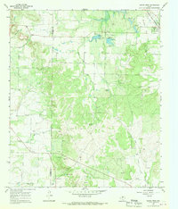
1967 · Novice West
USGS Topo · 1:24,000
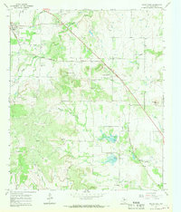
1967 · Novice East
USGS Topo · 1:24,000
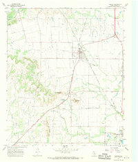
1967 · Tuscola
USGS Topo · 1:24,000
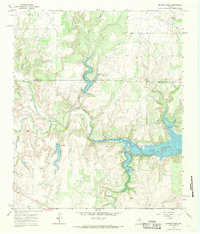
1967 · McEwen Draw
USGS Topo · 1:24,000