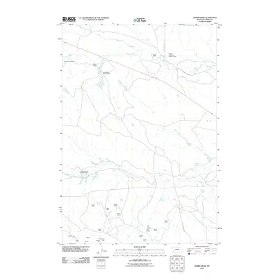
2011 Map of Gomer Draw
USGS Topo · Published 2011About this map
Willow Creek and North Creek meander through this corner of Carter County, shaping a landscape defined by drainage draws and small-scale resource extraction. In the early 21st century, the area shows a distinct pattern of land and water management, evidenced by numerous named earthen structures such as the Larry Pilster Number 2 Dam and the Wyotana Ranch Number 5 Dam. These features, often associated with specific ranching interests like those found at K and L McDowell Number 3 Dam, reveal how local families and operations harnessed the intermittent flow of the high plains.
Find a feature on this map
29 named features on this map. Tap any name to fly to it.
Don’t see what you’re looking for? This feature index may not catch every label — zoom into the map to look around manually.
Map Details
Editions of this 2011 Gomer Draw Map
This is the sole edition of this map. No revisions or reprints were ever made.
Other maps of this area

1901 · Aladdin
USGS Topo · 1:125,000

1903 · Aladdin
USGS Topo · 1:125,000

1905 · Devils Tower
USGS Topo · 1:125,000

1954 · Ekalaka
USGS Topo · 1:250,000

1954 · Gillette
USGS Topo · 1:250,000

1955 · Gillette
USGS Topo · 1:250,000

1956 · Ekalaka
USGS Topo · 1:250,000

1957 · Mona
USGS Topo · 1:62,500

1957 · Seely
USGS Topo · 1:62,500

1958 · Gillette
USGS Topo · 1:250,000