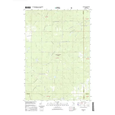
2017 Map of Goodar
USGS Topo · Published 2017About this map
The Huron-National Forest dominates this northern Michigan landscape, characterized by a dense network of forest service roads and recreational trails. The settlement of Goodar sits at the intersection of Ogemaw, Iosco, Oscoda, and Alcona counties, serving as a gateway to the wooded interior. Water features are abundant across the terrain, including Hughes Lake, Redhead Lake, and the clustered Three Lakes. Small waterways like Ninemile Creek and Wilbur Creek drain through the undulating topography.
Find a feature on this map
53 named features on this map. Tap any name to fly to it.
Don’t see what you’re looking for? This feature index may not catch every label — zoom into the map to look around manually.
Map Details
Editions of this 2017 Goodar Map
This is the sole edition of this map. No revisions or reprints were ever made.
Other maps of this area

1954 · Traverse City
USGS Topo · 1:250,000

1954 · Tawas City
USGS Topo · 1:250,000

1958 · Traverse City
USGS Topo · 1:250,000

1958 · Tawas City
USGS Topo · 1:250,000
1965 · Rose City
USGS Topo · 1:24,000
1968 · Hale
USGS Topo · 1:24,000
1968 · South Branch
USGS Topo · 1:24,000
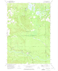
1972 · McKinley
USGS Topo · 1:24,000
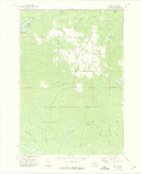
1972 · Curran
USGS Topo · 1:24,000
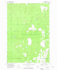
1972 · Goodar
USGS Topo · 1:24,000