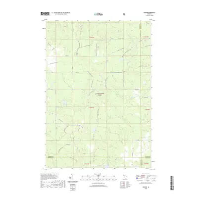
2019 Map of Goodar
USGS Topo · Published 2019About this map
The Huron National Forest forms the backdrop of this terrain at the junction of Oscoda, Alcona, Ogemaw, and Iosco Counties. Defined by a dense network of recreational and access routes, the landscape is crisscrossed by the Mack Lake Loop Trail and the Alcona ATV Trail, reflecting the modern usage of these northern Michigan woods. Significant water bodies like Emley Lake, Hughes Lake, and Redhead Lake are scattered across the quadrangle, connected by a seasonal drainage system including Ninemile Cr and Wilbur Cr.
Find a feature on this map
51 named features on this map. Tap any name to fly to it.
Don’t see what you’re looking for? This feature index may not catch every label — zoom into the map to look around manually.
Map Details
Editions of this 2019 Goodar Map
This is the sole edition of this map. No revisions or reprints were ever made.
Other maps of this area

1954 · Traverse City
USGS Topo · 1:250,000

1954 · Tawas City
USGS Topo · 1:250,000

1958 · Traverse City
USGS Topo · 1:250,000

1958 · Tawas City
USGS Topo · 1:250,000

1965 · Rose City
USGS Topo · 1:24,000

1968 · Hale
USGS Topo · 1:24,000

1968 · South Branch
USGS Topo · 1:24,000

1972 · McKinley
USGS Topo · 1:24,000

1972 · Curran
USGS Topo · 1:24,000

1972 · Goodar
USGS Topo · 1:24,000