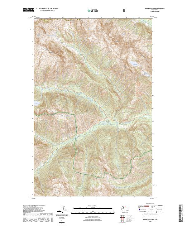
2023 Map of Goode Mountain
USGS Topo · Published 2023About this map
The high peaks of the North Cascades define this landscape at the intersection of the North Cascades National Park, Stephen Mather Wilderness, and Glacier Peak Wilderness. Centered on the massive profile of Goode Mtn, the map details a drainage system where the Stehekin River and Flat Creek are fed by several remaining ice masses, including the Wyeth Glacier, Goode Glacier, and Buckner Glacier.
Find a feature on this map
45 named features on this map. Tap any name to fly to it.
Don’t see what you’re looking for? This feature index may not catch every label — zoom into the map to look around manually.
Map Details
Editions of this 2023 Goode Mountain Map
This is the sole edition of this map. No revisions or reprints were ever made.
Other maps of this area

1899 · Glacier Peak
USGS Topo · 1:125,000

1901 · Glacier Peak
USGS Topo · 1:125,000

1902 · Stehekin
USGS Topo · 1:125,000

1904 · Stehekin
USGS Topo · 1:125,000

1920 · Slate Pass
USGS Topo · 1:125,000

1955 · Concrete
USGS Topo · 1:250,000

1958 · Concrete
USGS Topo · 1:250,000

1962 · Concrete
USGS Topo · 1:250,000

1963 · Mc Gregor Mtn
USGS Topo · 1:24,000
1963 · Agnes Mtn
USGS Topo · 1:24,000