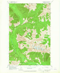
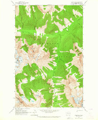
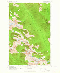
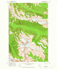
1963 Map of Mc Gregor Mtn
USGS Topo · Published 1964About this map
Sandalee Glacier and Lyell Glacier dominate the high-altitude landscape of this mid-century survey, illustrating the glacial activity central to the Okanogan National Forest. This section of the Cascades is defined by the steep descent toward the Stehekin River, which flows through the southern portion of the quadrangle near Agnes Gorge. The map records a network of trails and wilderness outposts, including the High Bridge Guard Station and several remote riverfront sites like Dolly Varden Campground and Shady Campground.
Find a feature on this map
42 named features on this map. Tap any name to fly to it.
Don’t see what you’re looking for? This feature index may not catch every label — zoom into the map to look around manually.
Map Details
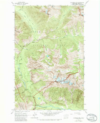
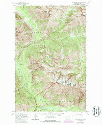
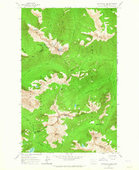
Editions of this 1963 Mc Gregor Mtn Map
5 editions found


Other maps of this area

1902 · Stehekin
USGS Topo · 1:125,000

1904 · Stehekin
USGS Topo · 1:125,000

1920 · Slate Pass
USGS Topo · 1:125,000

1955 · Concrete
USGS Topo · 1:250,000

1958 · Concrete
USGS Topo · 1:250,000

1962 · Concrete
USGS Topo · 1:250,000
1963 · Washington Pass
USGS Topo · 1:24,000
1963 · Agnes Mtn
USGS Topo · 1:24,000
1963 · Mt. Arriva
USGS Topo · 1:24,000
1963 · Mt Logan
USGS Topo · 1:24,000