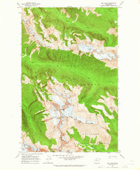
1963 Map of Mt Logan
USGS Topo · Published 1965About this map
Mt Logan dominates this high-altitude landscape along the border of Skagit Co and Chelan Co during the early 1960s. The region is defined by a dense concentration of active ice fields, including the massive Fremont Glacier, Douglas Glacier, and Thunder Glacier. This era of the North Cascades shows the primitive infrastructure of the high backcountry, where the Cascade Crest Trail serves as the primary artery for movement through the steep terrain.
Find a feature on this map
21 named features on this map. Tap any name to fly to it.
Don’t see what you’re looking for? This feature index may not catch every label — zoom into the map to look around manually.
Map Details
Editions of this 1963 Mt Logan Map
3 editions found
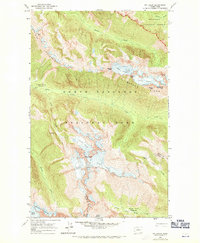

Other maps of this area

1899 · Glacier Peak
USGS Topo · 1:125,000

1901 · Glacier Peak
USGS Topo · 1:125,000

1902 · Stehekin
USGS Topo · 1:125,000

1904 · Stehekin
USGS Topo · 1:125,000

1920 · Slate Pass
USGS Topo · 1:125,000

1955 · Concrete
USGS Topo · 1:250,000

1958 · Concrete
USGS Topo · 1:250,000

1962 · Concrete
USGS Topo · 1:250,000
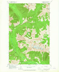
1963 · Mc Gregor Mtn
USGS Topo · 1:24,000
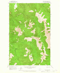
1963 · Azurite Peak
USGS Topo · 1:24,000