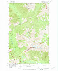
1963 Map of Mc Gregor Mtn
USGS Topo · Published 1974About this map
The Stehekin River valley and its surrounding high-alpine topography dominate this early 1960s survey of the Chelan backcountry. The landscape is defined by the convergence of major glacial and river systems, including the Lyall Glacier and Sandalee Glacier which feed the tributaries of McGregor Creek and Bridge Creek. This era of documentation highlights the intersection of several managed wilderness areas, including the North Cascades National Park and the Lake Chelan National Recreation Area.
Find a feature on this map
50 named features on this map. Tap any name to fly to it.
Don’t see what you’re looking for? This feature index may not catch every label — zoom into the map to look around manually.
Map Details
Editions of this 1963 Mc Gregor Mtn Map
5 editions found
Other maps of this area

1902 · Stehekin
USGS Topo · 1:125,000

1904 · Stehekin
USGS Topo · 1:125,000

1920 · Slate Pass
USGS Topo · 1:125,000

1955 · Concrete
USGS Topo · 1:250,000

1958 · Concrete
USGS Topo · 1:250,000

1962 · Concrete
USGS Topo · 1:250,000

1963 · Washington Pass
USGS Topo · 1:24,000

1963 · Mc Gregor Mtn
USGS Topo · 1:24,000
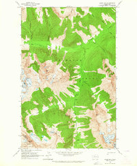
1963 · Agnes Mtn
USGS Topo · 1:24,000
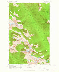
1963 · Mt. Arriva
USGS Topo · 1:24,000