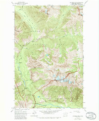
1963 Map of Mc Gregor Mtn
USGS Topo · Published 1986About this map
McGregor Mtn dominates this mid-century topographic portrait of the high wilderness where the Stehekin River and Agnes Creek converge. The landscape is defined by the permanent ice of Sandalee Glacier and Lyall Glacier, feeding a complex network of drainages including Waddell Creek and Maple Creek. This era of the North Cascades is captured just as formal protections were expanding, showing the early infrastructure for back-country exploration along the Pacific Crest National Scenic Trail. Evidence of early administrative and recreational presence is found at the High Bridge Guard Station and several remote outposts like State Camp and Tumwater Campground. The map also records a single mine near Clear Creek, hinting at the mineral prospecting that preceded the region's transition into the North Cascades National Park and Lake Chelan National Recreation Area.
Find a feature on this map
42 named features on this map. Tap any name to fly to it.
Don’t see what you’re looking for? This feature index may not catch every label — zoom into the map to look around manually.
Map Details
Editions of this 1963 Mc Gregor Mtn Map
5 editions found
Other maps of this area

1902 · Stehekin
USGS Topo · 1:125,000

1904 · Stehekin
USGS Topo · 1:125,000

1920 · Slate Pass
USGS Topo · 1:125,000

1955 · Concrete
USGS Topo · 1:250,000

1958 · Concrete
USGS Topo · 1:250,000

1962 · Concrete
USGS Topo · 1:250,000

1963 · Washington Pass
USGS Topo · 1:24,000

1963 · Mc Gregor Mtn
USGS Topo · 1:24,000
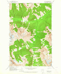
1963 · Agnes Mtn
USGS Topo · 1:24,000
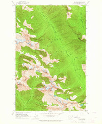
1963 · Mt. Arriva
USGS Topo · 1:24,000