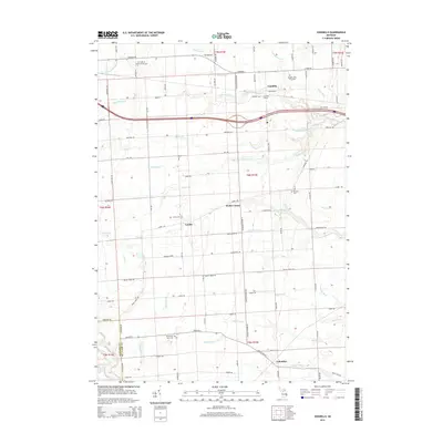
2014 Map of Goodells
USGS Topo · Published 2014About this map
Goodells and its neighboring communities are defined by a complex network of agricultural drainage and small rural settlements in this 2014 study of eastern Michigan. The landscape is carved by the South Br Pine River and numerous named watercourses such as the Riley-Wales Drain, Neaton Drain, and Apply Drain, which supported the region's historic farming operations. Genealogists will find significant value in the distribution of local burial grounds, including the Goodells Poor Farm Cem, Saint Philip Neri Cem, and Lambs Cem, marking the early family foundations of St. Clair County.
Find a feature on this map
84 named features on this map. Tap any name to fly to it.
Don’t see what you’re looking for? This feature index may not catch every label — zoom into the map to look around manually.
Map Details
Editions of this 2014 Goodells Map
This is the sole edition of this map. No revisions or reprints were ever made.
Other maps of this area
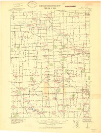
1914 · Armada
USGS Topo · 1:62,500
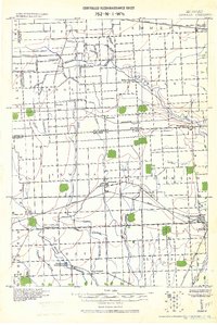
1928 · Armada
USGS Topo · 1:62,500
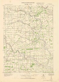
1928 · Hicky
USGS Topo · 1:62,500
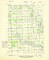
1936 · Rattle Run
USGS Topo · 1:31,680
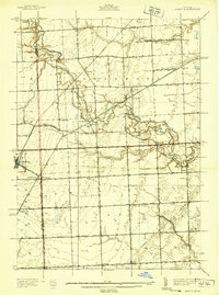
1939 · Adair
USGS Topo · 1:24,000
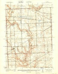
1939 · Smiths Creek
USGS Topo · 1:24,000
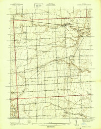
1939 · Goodells
USGS Topo · 1:24,000
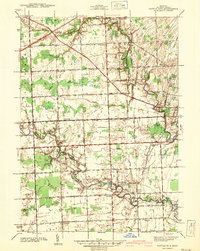
1942 · Rattle Run
USGS Topo · 1:24,000
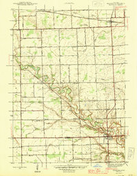
1944 · Memphis
USGS Topo · 1:24,000
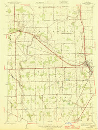
1945 · Richmond
USGS Topo · 1:24,000