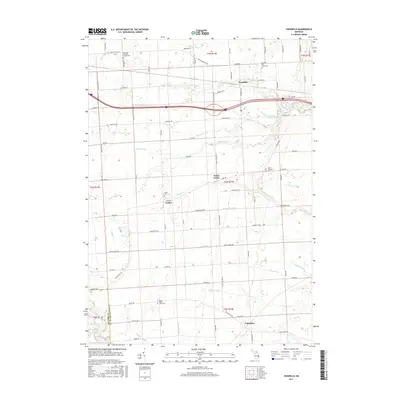
2017 Map of Goodells
USGS Topo · Published 2017About this map
Goodells and the surrounding township lands of Saint Clair County are defined by an intricate network of agricultural water management systems and small community clusters. This landscape is heavily interlaced with drainage features like the Riley-Wales Drain and Apply Drain, reflecting the area's transition from the original wetlands to productive farmland. The settlement pattern is rooted in local hubs such as Wales Center, Lambs, and Columbus, each serving as a waypoint for the rural population.
Find a feature on this map
90 named features on this map. Tap any name to fly to it.
Don’t see what you’re looking for? This feature index may not catch every label — zoom into the map to look around manually.
Map Details
Editions of this 2017 Goodells Map
This is the sole edition of this map. No revisions or reprints were ever made.
Other maps of this area

1914 · Armada
USGS Topo · 1:62,500

1928 · Armada
USGS Topo · 1:62,500

1928 · Hicky
USGS Topo · 1:62,500

1936 · Rattle Run
USGS Topo · 1:31,680

1939 · Adair
USGS Topo · 1:24,000

1939 · Smiths Creek
USGS Topo · 1:24,000

1939 · Goodells
USGS Topo · 1:24,000

1942 · Rattle Run
USGS Topo · 1:24,000

1944 · Memphis
USGS Topo · 1:24,000

1945 · Richmond
USGS Topo · 1:24,000