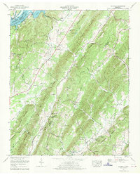
1967 Map of Goodfield
USGS Topo · Published 1969About this map
Chickamauga Lake and the Tennessee River define the northwestern edge of this landscape, where the waters meet the foot of Cotton Port Ridge. Inland, the terrain is dominated by the parallel ridges of No Pone Ridge and McMinn Ridge, which create a series of sheltered valleys such as No Pone Valley. The settlement at Goodfield serves as a central point, supported by community institutions like Bethsaida Ch and the Cedar Valley Sch.
Find a feature on this map
79 named features on this map. Tap any name to fly to it.
Don’t see what you’re looking for? This feature index may not catch every label — zoom into the map to look around manually.
Map Details
Editions of this 1967 Goodfield Map
2 editions found
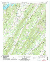
Other maps of this area

1886 · Cleveland
USGS Topo · 1:125,000

1887 · Kingston
USGS Topo · 1:125,000

1891 · Kingston
USGS Topo · 1:125,000

1892 · Cleveland
USGS Topo · 1:125,000

1893 · Kingston
USGS Topo · 1:125,000

1895 · Cleveland
USGS Topo · 1:125,000

1901 · Cleveland
USGS Topo · 1:125,000

1935 · Calhoun
USGS Topo · 1:24,000

1935 · Goodfield
USGS Topo · 1:24,000

1935 · Evensville
USGS Topo · 1:24,000