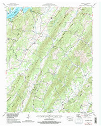
1967 Map of Goodfield
USGS Topo · Published 1996About this map
Chickamauga Lake and the Tennessee River dominate the northwestern corner of this landscape, where the Cotton Port Wildlife Mgt Area provides a buffer along the riverbank. Moving inland, the terrain is defined by a series of parallel ridges, most notably the long stretch of No Pone Ridge which divides the drainage basins of Goodfield Creek and Rogers Creek. The small community of Goodfield sits at a crossroads near Bethesda Ch and Goodfield Ch, serving as a central point for the surrounding rural valleys.
Find a feature on this map
71 named features on this map. Tap any name to fly to it.
Don’t see what you’re looking for? This feature index may not catch every label — zoom into the map to look around manually.
Map Details
Editions of this 1967 Goodfield Map
2 editions found
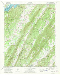
Other maps of this area

1886 · Cleveland
USGS Topo · 1:125,000

1887 · Kingston
USGS Topo · 1:125,000

1891 · Kingston
USGS Topo · 1:125,000

1892 · Cleveland
USGS Topo · 1:125,000

1893 · Kingston
USGS Topo · 1:125,000

1895 · Cleveland
USGS Topo · 1:125,000

1901 · Cleveland
USGS Topo · 1:125,000

1935 · Calhoun
USGS Topo · 1:24,000

1935 · Goodfield
USGS Topo · 1:24,000

1935 · Evensville
USGS Topo · 1:24,000