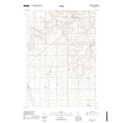
2019 Map of Goodhue East
USGS Topo · Published 2019About this map
Hay Creek and the surrounding township lands of eastern Goodhue County reveal a landscape deeply rooted in the nineteenth-century immigration patterns of the Upper Midwest. The terrain is characterized by the winding valleys of Wells Creek and its tributaries, which served as natural focal points for early settlement. A high density of denominational burial grounds, such as the Saint John's German Lutheran Cemetery, German Methodist Episcopal Cemetery, and Hof Norwegian Lutheran Church Cemetery, reflects the distinct ethnic enclaves—primarily German and Norwegian—that established the region's agricultural and social foundations. The small settlement of Belvidere Mills stands as a remnant of the water-powered industry that once dotted these valleys, while the larger hubs of Goodhue and Bellechester anchor the western and southern edges of this rural landscape.
Find a feature on this map
48 named features on this map. Tap any name to fly to it.
Don’t see what you’re looking for? This feature index may not catch every label — zoom into the map to look around manually.
Map Details
Editions of this 2019 Goodhue East Map
This is the sole edition of this map. No revisions or reprints were ever made.
Other maps of this area

1940 · Maiden Rock
USGS Topo · 1:62,500

1944 · Red Wing
USGS Topo · 1:62,500

1950 · Maiden Rock
USGS Topo · 1:62,500

1951 · Lake City
USGS Topo · 1:62,500

1952 · Red Wing
USGS Topo · 1:62,500

1953 · Saint Paul
USGS Topo · 1:250,000

1959 · Saint Paul
USGS Topo · 1:250,000

1968 · Goodhue East
USGS Topo · 1:24,000

1968 · Zumbrota
USGS Topo · 1:24,000

1968 · Mazeppa
USGS Topo · 1:24,000