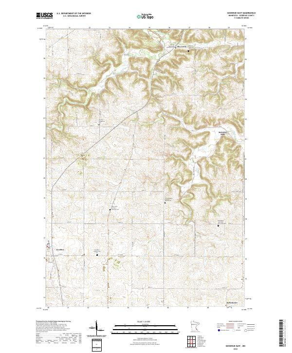
2022 Map of Goodhue East
USGS Topo · Published 2022This historical map portrays the area of Goodhue East in 2022, primarily covering Goodhue. Featuring a scale of 1:24000, this map provides a highly detailed snapshot of the terrain, roads, buildings, counties, and historical landmarks in the Goodhue East region at the time. Published in 2022, it is the sole known edition of this map.
Find a feature on this map
51 named features on this map. Tap any name to fly to it.
Don’t see what you’re looking for? This feature index may not catch every label — zoom into the map to look around manually.
Map Details
Editions of this 2022 Goodhue East Map
This is the sole edition of this map. No revisions or reprints were ever made.
Historical Maps of Belvidere Through Time
13 maps found
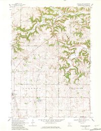
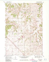
1968 Goodhue East
Goodhue County, MN
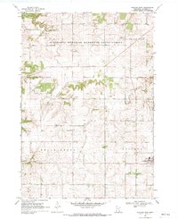
1968 Goodhue West
Goodhue County, MN
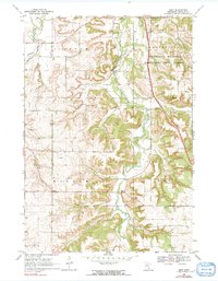
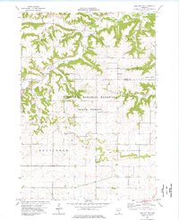
1968 Sogn
Goodhue County, MN
1968 White Rock
Goodhue County, MN
1974 Lake City NW
Goodhue County, MN
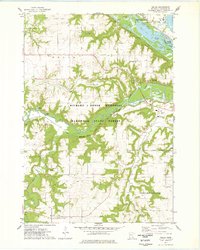
1974 Welch
Goodhue County, MN
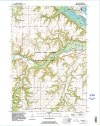
1991 Welch
Goodhue County, MN
2022 Goodhue East
Goodhue County, MN
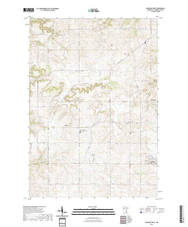
2022 Goodhue West
Goodhue County, MN

2022 Lake City NW
Goodhue County, MN
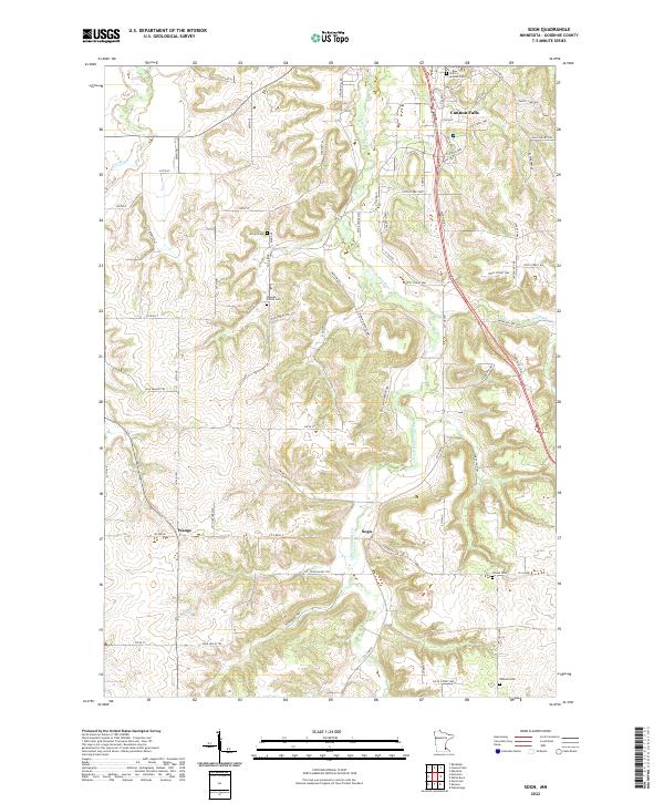
2022 Sogn
Goodhue County, MN
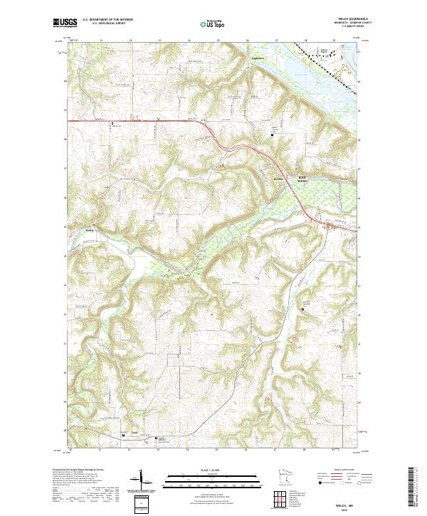
2022 Welch
Goodhue County, MN
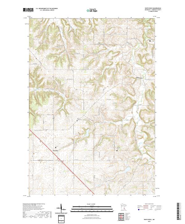
2022 White Rock
Goodhue County, MN
Featured Locations
- Bellechester, MN
- Goodhue, MN
- Goodhue Township, MN
- Belvidere, Belvidere Township
- Hay Creek, Hay Creek Township