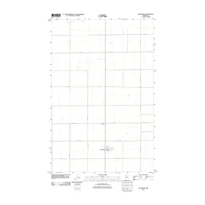
2010 Map of Goodridge
USGS Topo · Published 2010About this map
Goodridge serves as the primary hub of this Pennington County landscape, where the town site is clearly defined by its street grid and the central Goodridge Post Office. The surrounding terrain is organized by a rigid section-line road network, including County Hwy-120 and County Hwy-94, which illustrates the enduring impact of the Public Land Survey System on Minnesota's agricultural layout. A northern reach of the Lost River meanders across the upper portion of the map, providing a rare natural break in the geometric regularity of the farmland. This 2010 survey also identifies the Goodridge Cemetery north of the main settlement, offering a key landmark for genealogists and local historians tracing the development of this rural community. The map's layout of county highways and local roads like 240th St NE reflects a late 20th-century transition toward modernized rural infrastructure while maintaining the community's traditional spatial footprint.
Find a feature on this map
16 named features on this map. Tap any name to fly to it.
Don’t see what you’re looking for? This feature index may not catch every label — zoom into the map to look around manually.
Map Details
Editions of this 2010 Goodridge Map
This is the sole edition of this map. No revisions or reprints were ever made.
Other maps of this area

1918 · Rollis
USGS Topo · 1:62,500

1919 · Liner
USGS Topo · 1:62,500

1943 · Rollis
USGS Topo · 1:62,500

1954 · Roseau
USGS Topo · 1:250,000

1957 · Roseau
USGS Topo · 1:250,000

1958 · Roseau
USGS Topo · 1:250,000

1962 · Gatzke SE
USGS Topo · 1:24,000
1962 · Gatzke SW
USGS Topo · 1:24,000

1972 · Erie
USGS Topo · 1:24,000
1972 · Goodridge SW
USGS Topo · 1:24,000