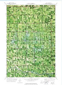
1972 Map of Erie
USGS Topo · Published 1976About this map
Red Lake River winds through the southern portion of this landscape, a meandering watercourse that contrasts with the rigid grid of Pennington County's agricultural drainage system. The area is defined by the townships of Highlanding, Reiner, Goodridge, and Star, where the transition from original wetland to productive farmland is marked by an extensive network of infrastructure like County Ditch No 51 and County Ditch No 49. Scattered throughout this section of Northern Minnesota are the focal points of rural life in the early 1970s, including the small settlement of Erie and local religious centers such as Reiner Ch and Ekelund Ch. Evidence of local administration and commerce appears at the Townhall, the Star Cent, and several Gravel Pit operations near the river valley.
Find a feature on this map
20 named features on this map. Tap any name to fly to it.
Don’t see what you’re looking for? This feature index may not catch every label — zoom into the map to look around manually.
Map Details
Editions of this 1972 Erie Map
This is the sole edition of this map. No revisions or reprints were ever made.
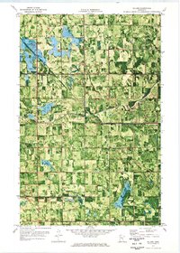
Other maps of this area
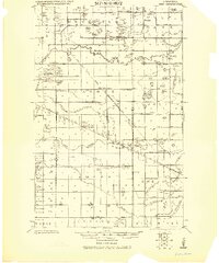
1919 · Grit
USGS Topo · 1:62,500
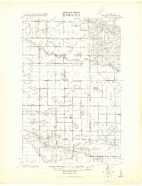
1919 · Winsor
USGS Topo · 1:62,500

1954 · Bemidji
USGS Topo · 1:250,000

1954 · Roseau
USGS Topo · 1:250,000

1957 · Roseau
USGS Topo · 1:250,000

1957 · Bemidji
USGS Topo · 1:250,000

1958 · Bemidji
USGS Topo · 1:250,000

1958 · Roseau
USGS Topo · 1:250,000
1971 · Roland
USGS Topo · 1:24,000

1972 · Goodridge
USGS Topo · 1:24,000