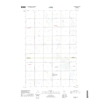
2019 Map of Goodridge
USGS Topo · Published 2019About this map
Goodridge serves as the primary hub of this northwestern Minnesota landscape, situated at the junction of Co Hwy 9 and Co Rd 63. The town is neatly organized around local thoroughfares such as Pennington St and Brandenberg St E, reflecting a classic prairie settlement pattern. To the north, the Marshall Co Pennington Co line bisects the territory, which is defined by extensive wetlands and the winding path of the Lost River. For genealogists and local historians, the Goodridge Cem stands as a significant landmark north of the town center along 310th Ave NE. The surrounding area is primarily subdivided by a grid of rural roads like Co Hwy 129 and Co Rd 64, providing a clear view of the section-line development characteristic of this region's agricultural and township history.
Find a feature on this map
32 named features on this map. Tap any name to fly to it.
Don’t see what you’re looking for? This feature index may not catch every label — zoom into the map to look around manually.
Map Details
Editions of this 2019 Goodridge Map
This is the sole edition of this map. No revisions or reprints were ever made.
Other maps of this area
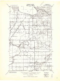
1918 · Rollis
USGS Topo · 1:62,500
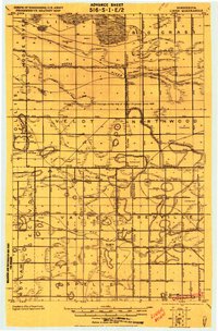
1919 · Liner
USGS Topo · 1:62,500
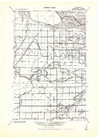
1943 · Rollis
USGS Topo · 1:62,500
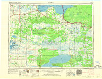
1954 · Roseau
USGS Topo · 1:250,000
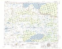
1957 · Roseau
USGS Topo · 1:250,000
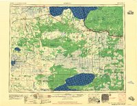
1958 · Roseau
USGS Topo · 1:250,000
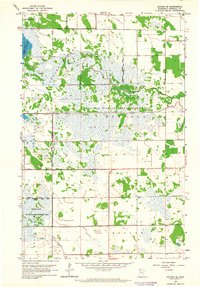
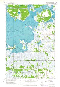
1962 · Gatzke SE
USGS Topo · 1:24,000
1962 · Gatzke SW
USGS Topo · 1:24,000
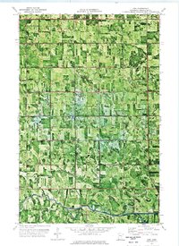
1972 · Erie
USGS Topo · 1:24,000
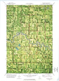
1972 · Goodridge SW
USGS Topo · 1:24,000