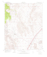
1960 Map of Goodsprings
USGS Topo · Published 1968About this map
Spring Mountains dominate this 1960s landscape, where the high desert terrain is punctuated by a dense network of mining operations centered around the town of Goodsprings. This era represents a significant period for the district, showing dozens of named workings such as the Yellow Pine Mine, Monte Cristo Mine, and Sultan Mine tucked into the slopes. The settlement patterns follow the industrial needs of the time, with Goodsprings serving as the interior hub while the Union Pacific railroad and the town of Jean manage the corridor through Ivanpah Valley. Evidence of earlier transport is visible in the Old Railroad Grade cutting across the valley floor. To the east, the stark expanse of the dry Jean Lake bed contrasts with the complex topography of Table Mountain and Sheep Mountain, illustrating the harsh environment that prospectors and railroad workers navigated daily.
Find a feature on this map
61 named features on this map. Tap any name to fly to it.
Don’t see what you’re looking for? This feature index may not catch every label — zoom into the map to look around manually.
Map Details
Editions of this 1960 Goodsprings Map
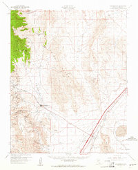
2 editions found
Other maps of this area

1907 · Las Vegas
USGS Topo · 1:250,000

1908 · Las Vegas
USGS Topo · 1:250,000

1910 · Ivanpah
USGS Topo · 1:250,000

1912 · Ivanpah
USGS Topo · 1:250,000

1942 · Ivanpah
USGS Topo · 1:250,000

1947 · Kingman
USGS Topo · 1:250,000

1948 · Kingman
USGS Topo · 1:250,000

1952 · Blue Diamond
USGS Topo · 1:62,500

1952 · Las Vegas
USGS Topo · 1:62,500

1954 · Las Vegas
USGS Topo · 1:250,000