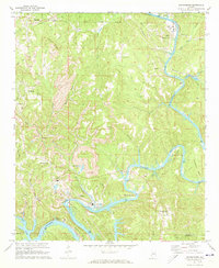
1971 Map of Goodsprings
USGS Topo · Published 1973About this map
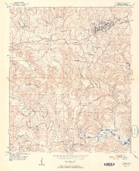
The Mulberry Fork carves a winding path through this Walker County landscape, creating a series of dramatic loops including Bough Bend, Copeland Bend, and Franklin Bend. The 1970s economy is defined by industrial extraction and power generation, evidenced by the numerous Strip Mine operations scattered across the ridges and the prominent Powerplant at Gorgas. This community serves as a hub for the area, featuring the Martin High Sch and a central Radio Tower.
Find a feature on this map
53 named features on this map. Tap any name to fly to it.
Don’t see what you’re looking for? This feature index may not catch every label — zoom into the map to look around manually.
Map Details
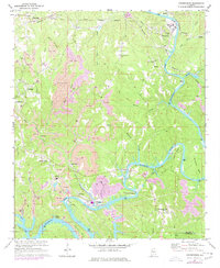
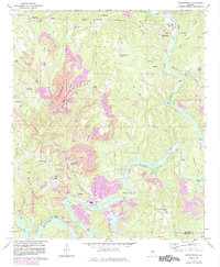
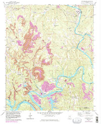
Editions of this 1971 Goodsprings Map
4 editions found
Other maps of this area

1893 · Jasper
USGS Topo · 1:125,000

1935 · Port Birmingham
USGS Topo · 1:48,000

1938 · Port Birmingham
USGS Topo · 1:62,500

1949 · Cordova
USGS Topo · 1:24,000

1949 · Parrish
USGS Topo · 1:24,000

1949 · Sipsey
USGS Topo · 1:24,000

1949 · Jasper
USGS Topo · 1:24,000

1949 · Tutwiler School
USGS Topo · 1:24,000

1951 · Jasper
USGS Topo · 1:24,000
1951 · Parrish
USGS Topo · 1:24,000