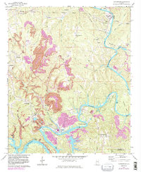
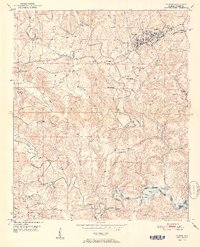
1971 Map of Goodsprings
USGS Topo · Published 1983About this map
Industrial land use and river commerce define this reach of the Mulberry Fork in the early 1970s. Extensive Strip Mine operations dominate the ridges above Goodsprings, with a network of conveyors and specialized infrastructure like the Powerplant near Gorgas illustrating the local coal-and-power economy. This survey captures the region just as later 20th-century revisions to the landscape began, showing the interplay between heavy industry and established small communities like Dovertown, Barney, and Barton.
Find a feature on this map
54 named features on this map. Tap any name to fly to it.
Don’t see what you’re looking for? This feature index may not catch every label — zoom into the map to look around manually.
Map Details
Editions of this 1971 Goodsprings Map
4 editions found
Other maps of this area

1893 · Jasper
USGS Topo · 1:125,000

1935 · Port Birmingham
USGS Topo · 1:48,000

1938 · Port Birmingham
USGS Topo · 1:62,500

1949 · Cordova
USGS Topo · 1:24,000

1949 · Parrish
USGS Topo · 1:24,000

1949 · Sipsey
USGS Topo · 1:24,000

1949 · Jasper
USGS Topo · 1:24,000

1949 · Tutwiler School
USGS Topo · 1:24,000

1951 · Jasper
USGS Topo · 1:24,000
1951 · Parrish
USGS Topo · 1:24,000