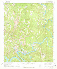
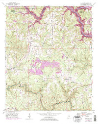
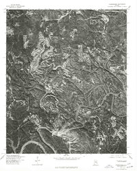
1971 Map of Goodsprings
USGS Topo · Published 1973This historical map portrays the area of Goodsprings in 1971, primarily covering Walker County as well as portions of Jefferson County. Featuring a scale of 1:24000, this map provides a highly detailed snapshot of the terrain, roads, buildings, counties, and historical landmarks in the Goodsprings region at the time. Published in 1973, it is one of 4 known editions of this map due to revisions or reprints.
Find a feature on this map
53 named features on this map. Tap any name to fly to it.
Don’t see what you’re looking for? This feature index may not catch every label — zoom into the map to look around manually.
Map Details
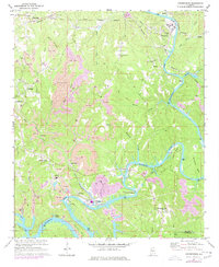
Editions of this 1971 Goodsprings Map
4 editions found
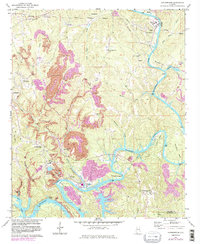
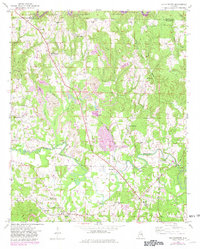
Historical Maps of Deason Hill Through Time
13 maps found
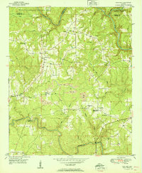
1949 Manchester
Walker County, AL
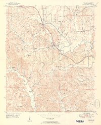
1949 Sunlight
Walker County, AL
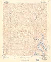
1949 Townley
Walker County, AL
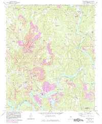
1949 Tutwiler School
Walker County, AL
1950 Manchester
Walker County, AL
1951 Sunlight
Walker County, AL
1951 Townley
Walker County, AL
1951 Tutwiler School
Walker County, AL
1971 Goodsprings
Walker County, AL
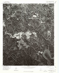
1975 Goodsprings
Walker County, AL
1975 Tutwiler School
Walker County, AL
2000 Manchester
Walker County, AL
2000 Sunlight
Walker County, AL