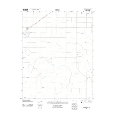
2012 Map of Goodwell SE
USGS Topo · Published 2012About this map
Frisco Cr and its tributary, the N Fork Frisco Cr, define the drainage of this High Plains landscape in Texas County. The map reveals a highly structured agricultural grid, where section-line roads like Mile 23 and Mile 26 intersect a series of east-west routes ranging from E0270 Rd to E0350 Rd. This geometry is only interrupted by the natural winding paths of the creek beds. A significant genealogical and historical point of interest is the Frisco Cem, located in the eastern portion of the quadrangle. In the northwest corner, a small residential cluster near Eagle Blvd and Stump St indicates localized development adjacent to major transit corridors. The transition from local numbered roads to Co Hwy-25 illustrates the area's connectivity within the Oklahoma Panhandle.
Find a feature on this map
32 named features on this map. Tap any name to fly to it.
Don’t see what you’re looking for? This feature index may not catch every label — zoom into the map to look around manually.
Map Details
Editions of this 2012 Goodwell SE Map
This is the sole edition of this map. No revisions or reprints were ever made.
Other maps of this area

1954 · Perryton
USGS Topo · 1:250,000

1958 · Perryton
USGS Topo · 1:250,000

1968 · Guymon
USGS Topo · 1:24,000

1968 · Guymon SW
USGS Topo · 1:24,000

1973 · Goodwell SE
USGS Topo · 1:24,000

1973 · Goodwell NW
USGS Topo · 1:24,000

1973 · Goodwell
USGS Topo · 1:24,000

1973 · Goodwell NE
USGS Topo · 1:24,000

1974 · Sunray 1 NW
USGS Topo · 1:24,000

1974 · Sunray 1 NE
USGS Topo · 1:24,000