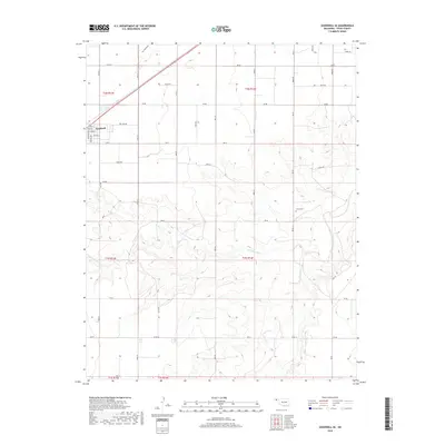
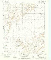
2018 Map of Goodwell SE
USGS Topo · Published 2018About this map
Goodwell sits at the northwestern edge of this High Plains landscape, where the town grid meets a vast network of section-line roads. The terrain is defined by the drainage systems of the Frisco Cr and its tributary, the N Fork Frisco Cr, which carve winding paths through the panhandle's relatively flat profile. These watercourses, along with Dry Sand Draw in the north, create the primary relief in an area dominated by rural road segments like Co Rd AA and Co Rd 25.
Find a feature on this map
24 named features on this map. Tap any name to fly to it.
Don’t see what you’re looking for? This feature index may not catch every label — zoom into the map to look around manually.
Map Details
Editions of this 2018 Goodwell SE Map
This is the sole edition of this map. No revisions or reprints were ever made.
Other maps of this area

1954 · Perryton
USGS Topo · 1:250,000

1958 · Perryton
USGS Topo · 1:250,000
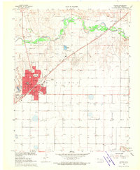
1968 · Guymon
USGS Topo · 1:24,000
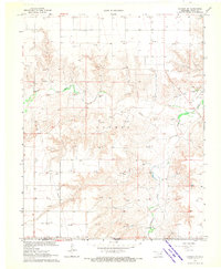
1968 · Guymon SW
USGS Topo · 1:24,000
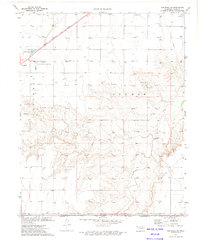
1973 · Goodwell SE
USGS Topo · 1:24,000
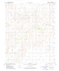
1973 · Goodwell NW
USGS Topo · 1:24,000
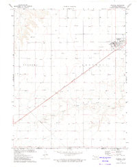
1973 · Goodwell
USGS Topo · 1:24,000
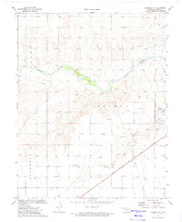
1973 · Goodwell NE
USGS Topo · 1:24,000
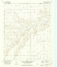
1974 · Sunray 1 NW
USGS Topo · 1:24,000
1974 · Sunray 1 NE
USGS Topo · 1:24,000