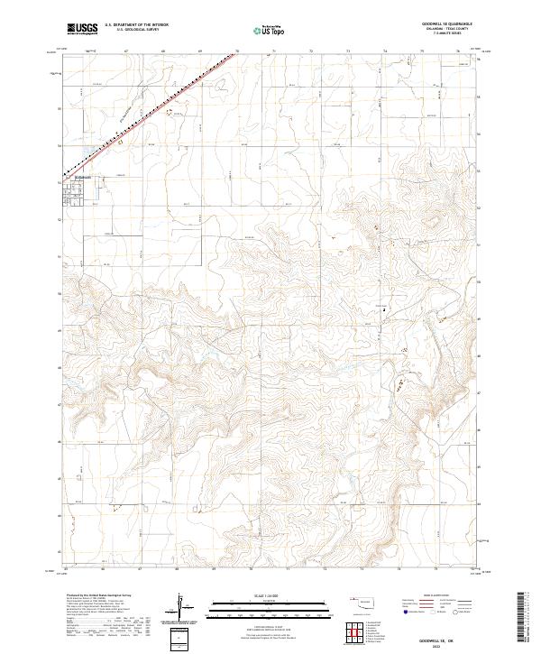
2022 Map of Goodwell SE
USGS Topo · Published 2022About this map
The southeastern outskirts of Goodwell define the northwestern corner of this landscape, where the street grid of Jefferson Ave, Lincoln Ave, and Adams Ave transitions into the expansive section lines of the Oklahoma Panhandle. This area is shaped by the drainage systems of the N Fork Frisco Cr and Frisco Creek, which cut subtle topographic relief through the surrounding agricultural plains. The road network follows a rigid grid of numbered miles and rural routes, such as Mile 23 and RD Aa, reflecting the systematic land division of Texas County.
Find a feature on this map
43 named features on this map. Tap any name to fly to it.
Don’t see what you’re looking for? This feature index may not catch every label — zoom into the map to look around manually.
Map Details
Editions of this 2022 Goodwell SE Map
This is the sole edition of this map. No revisions or reprints were ever made.
Other maps of this area

1954 · Perryton
USGS Topo · 1:250,000

1958 · Perryton
USGS Topo · 1:250,000

1968 · Guymon
USGS Topo · 1:24,000

1968 · Guymon SW
USGS Topo · 1:24,000

1973 · Goodwell SE
USGS Topo · 1:24,000

1973 · Goodwell NW
USGS Topo · 1:24,000

1973 · Goodwell
USGS Topo · 1:24,000

1973 · Goodwell NE
USGS Topo · 1:24,000

1974 · Sunray 1 NW
USGS Topo · 1:24,000

1974 · Sunray 1 NE
USGS Topo · 1:24,000