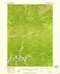
1956 Map of Goodwin Peak
USGS Topo · Published 1958About this map
The winding North Fork Smith River carves through the heart of the Siuslaw National Forest along the border of Lane and Douglas counties. This mid-century survey documents a landscape defined by forestry and isolated homesteads, where the river serves as the primary orienting feature for landmarks like The Island and Smith River Falls. High elevations are dominated by peaks such as Goodwin Peak, which served as a critical communication and observation point with its Lookout and Radio Relay Station.
Find a feature on this map
67 named features on this map. Tap any name to fly to it.
Don’t see what you’re looking for? This feature index may not catch every label — zoom into the map to look around manually.
Map Details
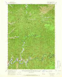
Editions of this 1956 Goodwin Peak Map
2 editions found
Other maps of this area

1918 · Mapleton
USGS Topo · 1:48,000

1919 · Earl
USGS Topo · 1:48,000

1920 · Siltcoos Lake
USGS Topo · 1:62,500

1920 · Heceta Head
USGS Topo · 1:62,500

1923 · Reedsport
USGS Topo · 1:62,500

1940 · Mapleton
USGS Topo · 1:62,500

1941 · Blachly
USGS Topo · 1:62,500

1941 · Siltcoos Lake
USGS Topo · 1:62,500

1942 · Blachly
USGS Topo · 1:62,500

1942 · Heceta Head
USGS Topo · 1:62,500