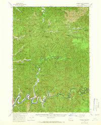
1956 Map of Goodwin Peak
USGS Topo · Published 1966About this map
Siuslaw National Forest dominates this mid-century landscape where the Smith River meanders through the deep drainages of the Oregon Coast Range. Settlement is sparse and follows the river's path, highlighted by the Dailey Ranch and Wales Ranch located near a sharp bend in the water. The community presence is marked by a small Cemetery and the Smith River Grange building at the western edge of the survey. Higher elevations are defined by peaks with evocative names like Mt Popocatepetl and Goodwin Peak, the latter featuring a Radio Relay Sta. The terrain is deeply incised by numerous creeks such as Fiddle Creek and Kentucky Creek, while the Sheep Herder Trail provides a glimpse into the more traditional land uses of this timbered and topographical complex region.
Find a feature on this map
52 named features on this map. Tap any name to fly to it.
Don’t see what you’re looking for? This feature index may not catch every label — zoom into the map to look around manually.
Map Details
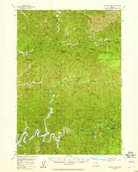
Editions of this 1956 Goodwin Peak Map
2 editions found
Other maps of this area

1918 · Mapleton
USGS Topo · 1:48,000

1919 · Earl
USGS Topo · 1:48,000

1920 · Siltcoos Lake
USGS Topo · 1:62,500

1920 · Heceta Head
USGS Topo · 1:62,500

1923 · Reedsport
USGS Topo · 1:62,500

1940 · Mapleton
USGS Topo · 1:62,500

1941 · Blachly
USGS Topo · 1:62,500

1941 · Siltcoos Lake
USGS Topo · 1:62,500

1942 · Blachly
USGS Topo · 1:62,500

1942 · Heceta Head
USGS Topo · 1:62,500