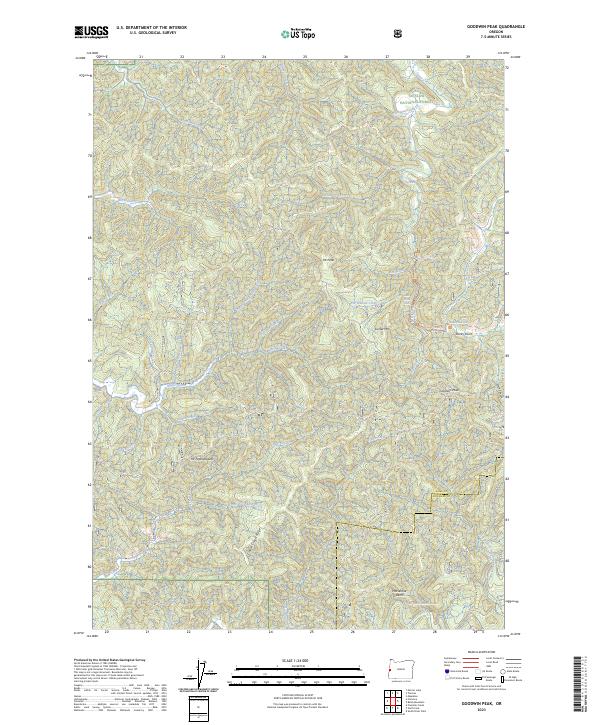
2023 Map of Goodwin Peak
USGS Topo · Published 2023About this map
Siuslaw National Forest covers much of this landscape in western Lane County, where the terrain is defined by a dense network of drainages and prominent coastal peaks. The elevation climbs from the valley floors to heights like Goodwin Peak and Sunset Mtn, with the curious naming of Mt Popocátepetl standing out among the more traditional local landmarks. Water is the primary architect here, with Sweet Creek and its notable Sweet Creek Falls providing a central corridor for the Sweet Creek Trl.
Find a feature on this map
49 named features on this map. Tap any name to fly to it.
Don’t see what you’re looking for? This feature index may not catch every label — zoom into the map to look around manually.
Map Details
Editions of this 2023 Goodwin Peak Map
This is the sole edition of this map. No revisions or reprints were ever made.
Other maps of this area

1918 · Mapleton
USGS Topo · 1:48,000

1919 · Earl
USGS Topo · 1:48,000

1920 · Siltcoos Lake
USGS Topo · 1:62,500

1920 · Heceta Head
USGS Topo · 1:62,500

1940 · Mapleton
USGS Topo · 1:62,500

1941 · Siltcoos Lake
USGS Topo · 1:62,500

1942 · Heceta Head
USGS Topo · 1:62,500

1942 · Siltcoos Lake
USGS Topo · 1:62,500

1943 · Goodwin Peak
USGS Topo · 1:62,500

1945 · Mapleton
USGS Topo · 1:62,500