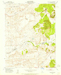
1953 Map of Goose Creek
USGS Topo · Published 1955About this map
The rolling grasslands at the junction of Sacramento, Amador, and San Joaquin Counties are defined by a complex hydraulic landscape where seasonal watercourses meet early agricultural infrastructure. The Southern Pacific railroad cuts through the northwest corner, passing near Browns Creek and a network of early water management features. Evidence of the region’s hydraulic history is visible in the scattered tailings and several reservoirs, reflecting the transition from mining influences to ranching and dry-land farming.
Find a feature on this map
18 named features on this map. Tap any name to fly to it.
Don’t see what you’re looking for? This feature index may not catch every label — zoom into the map to look around manually.
Map Details
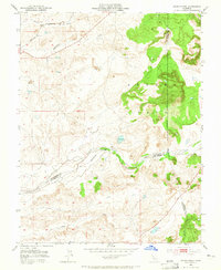
Editions of this 1953 Goose Creek Map
2 editions found
Other maps of this area

1889 · Jackson
USGS Topo · 1:125,000

1892 · Jackson
USGS Topo · 1:125,000

1894 · Lodi
USGS Topo · 1:125,000

1897 · Jackson
USGS Topo · 1:125,000

1902 · Jackson
USGS Topo · 1:125,000

1908 · Lockeford
USGS Topo · 1:31,680

1909 · Carbondale
USGS Topo · 1:31,680

1909 · Clay
USGS Topo · 1:31,680

1909 · Cosumnes
USGS Topo · 1:31,680

1909 · Goose Creek
USGS Topo · 1:31,680