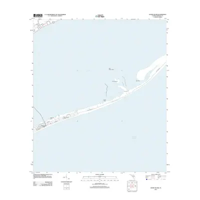
2012 Map of Goose Island
USGS Topo · Published 2012About this map
Saint George Island stretches across the southern half of this coastal survey, separating the Gulf of Mexico from the shallow waters of Saint George Sound. The island's geography is defined by a thin ribbon of development along E Gulf Beach Dr and E Gorrie Dr, where a network of residential streets meets the natural shoreline. To the north, the mainland settlement of Eastpoint appears at the edge of the sound, marked by a local Cemetery and a grid of roads including Otter Slide Rd and Tip Tucker Rd.
Find a feature on this map
36 named features on this map. Tap any name to fly to it.
Don’t see what you’re looking for? This feature index may not catch every label — zoom into the map to look around manually.
Map Details
Editions of this 2012 Goose Island Map
This is the sole edition of this map. No revisions or reprints were ever made.
Other maps of this area

1943 · Apalachicola
USGS Topo · 1:31,680

1943 · Carrabelle
USGS Topo · 1:24,000

1944 · Carrabelle
USGS Topo · 1:31,680

1944 · Green Point
USGS Topo · 1:31,680

1944 · Sugar Hill
USGS Topo · 1:31,680

1944 · Apalachicola
USGS Topo · 1:24,000

1945 · Sugar Hill
USGS Topo · 1:31,680

1945 · Beverly
USGS Topo · 1:31,680

1949 · Apalachicola
USGS Topo · 1:250,000

1950 · Goose Island
USGS Topo · 1:31,680