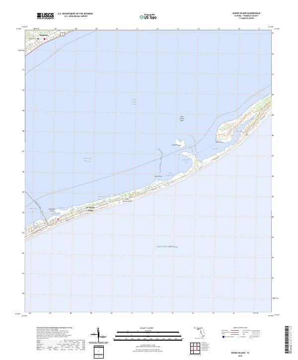
2025 Map of Goose Island
USGS Topo · Published 2025About this map
St. George Island stretches across the southern portion of this chart, separating the open waters of the Gulf of America from the protected reaches of Saint George Sound and Apalachicola Bay. This barrier island landscape is defined by its recreation and conservation corridors, including the Dr. Julian G. Bruce St. George Island State Park Trl and the Saint George Island Trl. The map illustrates a developed coastal community where residential streets like W Pine Ave and Gorrie Dr E give way to more remote natural features toward the east.
Find a feature on this map
30 named features on this map. Tap any name to fly to it.
Don’t see what you’re looking for? This feature index may not catch every label — zoom into the map to look around manually.
Map Details
Editions of this 2025 Goose Island Map
This is the sole edition of this map. No revisions or reprints were ever made.
Other maps of this area

1943 · Apalachicola
USGS Topo · 1:31,680

1943 · Carrabelle
USGS Topo · 1:24,000

1944 · Carrabelle
USGS Topo · 1:31,680

1944 · Green Point
USGS Topo · 1:31,680

1944 · Sugar Hill
USGS Topo · 1:31,680

1944 · Apalachicola
USGS Topo · 1:24,000

1945 · Sugar Hill
USGS Topo · 1:31,680

1945 · Beverly
USGS Topo · 1:31,680

1949 · Apalachicola
USGS Topo · 1:250,000

1950 · Goose Island
USGS Topo · 1:31,680