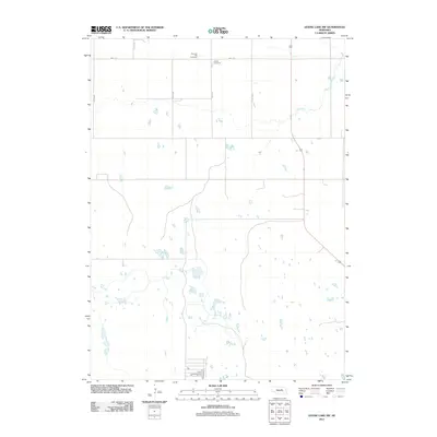
2011 Map of Goose Lake SW
USGS Topo · Published 2011About this map
Farmers Hill Cemetery and Conley Cemetery sit along the northern border of this rural Nebraska landscape, serving as quiet landmarks for local genealogy and family history. The terrain is defined by a dense network of small wetlands and ephemeral ponds, a characteristic feature of the Nebraska Sandhills. These water bodies surround the winding path of Cache Creek as it moves through the northeastern corner of the map. The human footprint is traced through a precise grid of county roads, including 848th Rd and a series of north-south corridors like 487th Ave and 489th Ave. This arrangement reflects the enduring legacy of the rectangular survey system in the American West, where agricultural land is neatly partitioned between the many scattered ponds and marshes that dominate the natural drainage.
Find a feature on this map
8 named features on this map. Tap any name to fly to it.
Don’t see what you’re looking for? This feature index may not catch every label — zoom into the map to look around manually.
Map Details
Editions of this 2011 Goose Lake SW Map
This is the sole edition of this map. No revisions or reprints were ever made.
Other maps of this area

1954 · Bartlett NW
USGS Topo · 1:24,000

1954 · Bartlett
USGS Topo · 1:24,000

1954 · Gables
USGS Topo · 1:24,000

1955 · Broken Bow
USGS Topo · 1:250,000

1955 · O'Neill
USGS Topo · 1:250,000

1956 · Broken Bow
USGS Topo · 1:250,000

1959 · O'Neill
USGS Topo · 1:250,000

1969 · O'Neill
USGS Topo · 1:250,000

1981 · Goose Lake SW
USGS Topo · 1:24,000

1981 · Chambers East
USGS Topo · 1:24,000