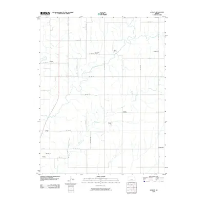
2009 Map of Gordon
USGS Topo · Published 2009About this map
Gordon and the surrounding Butler County landscape are defined by the winding course of the Little Walnut River and its numerous tributaries. This area of Kansas shows a distinct pattern of energy production and rural community life, where the Muddy Creek Oil Field and Douglass Oil Field operate alongside established agricultural land. The map identifies small settlements such as Bois d' Arc and Smileyville, which serve as markers of the region's local history.
Find a feature on this map
34 named features on this map. Tap any name to fly to it.
Don’t see what you’re looking for? This feature index may not catch every label — zoom into the map to look around manually.
Map Details
Editions of this 2009 Gordon Map
This is the sole edition of this map. No revisions or reprints were ever made.
Other maps of this area

1888 · Eldorado
USGS Topo · 1:125,000

1889 · Burden
USGS Topo · 1:125,000

1889 · Wichita
USGS Topo · 1:125,000

1890 · Wellington
USGS Topo · 1:125,000

1894 · Wichita
USGS Topo · 1:125,000

1955 · Udall
USGS Topo · 1:24,000

1955 · Santa Fe Lake
USGS Topo · 1:24,000

1955 · Douglass
USGS Topo · 1:24,000

1955 · Wichita
USGS Topo · 1:250,000

1958 · Wichita
USGS Topo · 1:250,000