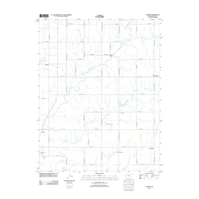
2012 Map of Gordon
USGS Topo · Published 2012About this map
Walnut River and Little Walnut River converge in this section of Butler County, defining a landscape marked by both agriculture and energy extraction. The rural settlement of Gordon sits near the river bend, while smaller localities like Bois d'Arc, Bloomington, and Smileyville dot the grid of county roads. The region's industrial character is highlighted by the Muddy Creek Oil Field and Douglass Oil Field, which speak to the long-standing petroleum history of southern Kansas. For those tracing local families, several burial grounds are documented, including Cumberland Cem, McCabe Cem, and Douglass Cem. Aviation interests are represented by the presence of Alley Field Airport and LMN 120 Airport, serving this expanse of prairie and creek-fed bottomlands.
Find a feature on this map
40 named features on this map. Tap any name to fly to it.
Don’t see what you’re looking for? This feature index may not catch every label — zoom into the map to look around manually.
Map Details
Editions of this 2012 Gordon Map
This is the sole edition of this map. No revisions or reprints were ever made.
Other maps of this area

1888 · Eldorado
USGS Topo · 1:125,000

1889 · Burden
USGS Topo · 1:125,000

1889 · Wichita
USGS Topo · 1:125,000

1890 · Wellington
USGS Topo · 1:125,000

1894 · Wichita
USGS Topo · 1:125,000

1955 · Udall
USGS Topo · 1:24,000

1955 · Santa Fe Lake
USGS Topo · 1:24,000

1955 · Douglass
USGS Topo · 1:24,000

1955 · Wichita
USGS Topo · 1:250,000

1958 · Wichita
USGS Topo · 1:250,000