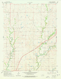
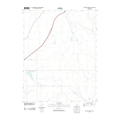
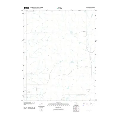
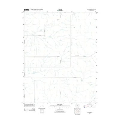
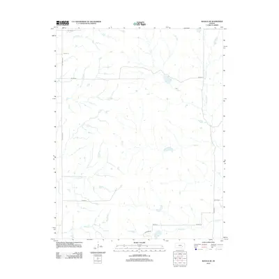
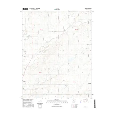
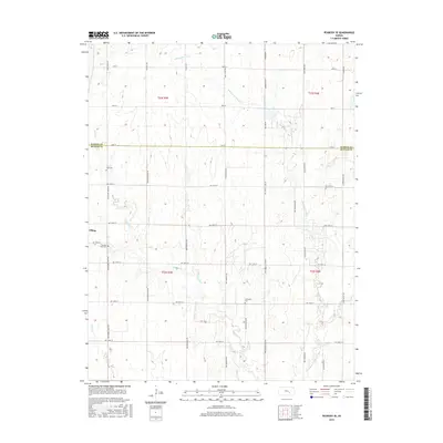
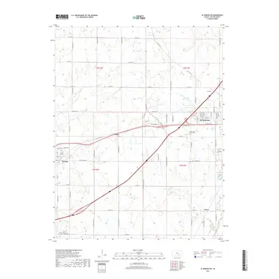
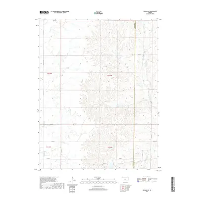
1961 Map of Gordon
USGS Topo · Published 1979About this map
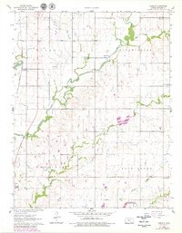
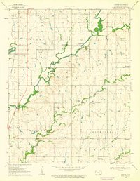
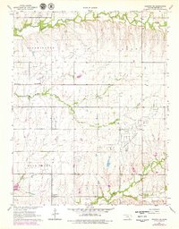
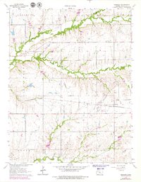
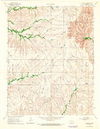
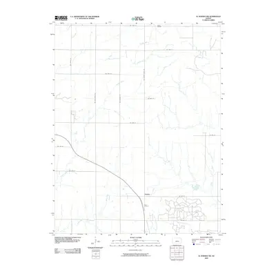
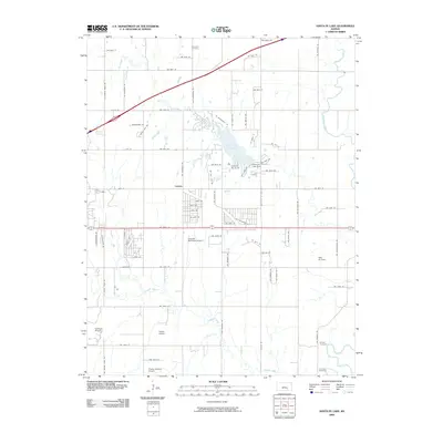
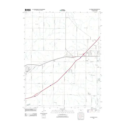
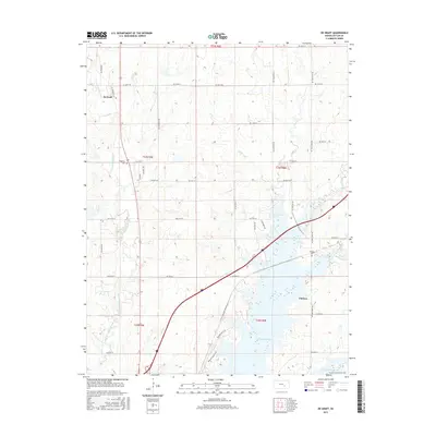
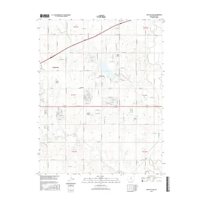
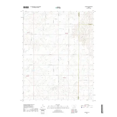
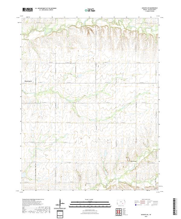
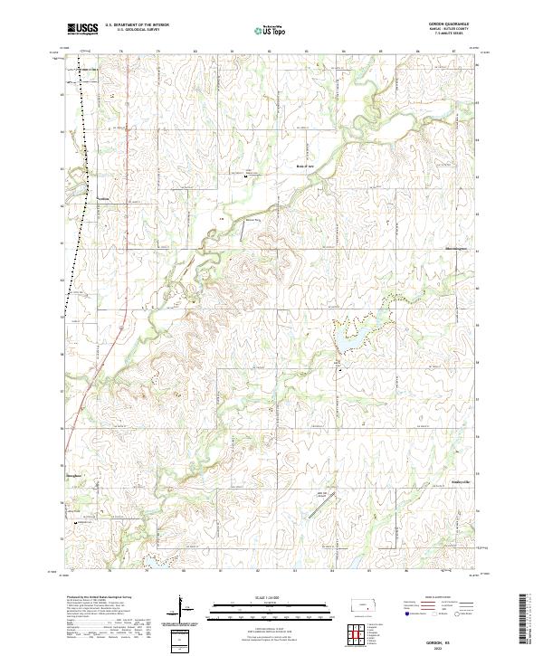
The confluence of the Walnut River and Little Walnut River anchors this landscape in Butler County, where agricultural patterns are punctuated by small rural settlements and scattered family history markers. Near the town of Gordon, the Santa Fe and Topeka Atchison line parallels the river, illustrating the vital rail-and-water transport corridor that shaped this region. Rural life in the mid-20th century is well-documented through landmarks like Cumberland Ch and the neighboring Little Walnut Cem, alongside more isolated outposts such as Smileyberg and Bloomington. The inclusion of a U S Military Reservation in the southern portion and various Gravel Pits adds industrial and institutional layers to the predominantly township-based topography, which remains divided among the Augusta, Walnut, and Bloomington districts.
Find a feature on this map
24 named features on this map. Tap any name to fly to it.
Don’t see what you’re looking for? This feature index may not catch every label — zoom into the map to look around manually.
Map Details
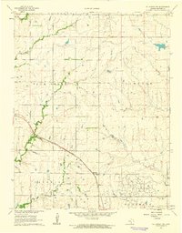
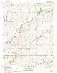
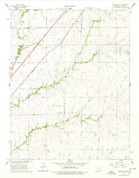
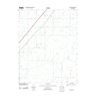
Editions of this 1961 Gordon Map
3 editions found
Historical Maps of Douglass Through Time
85 maps found
1888 Eldorado
Butler County, KS
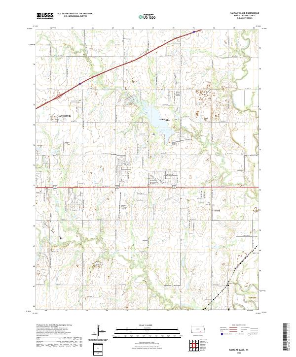
1955 Santa Fe Lake
Butler County, KS
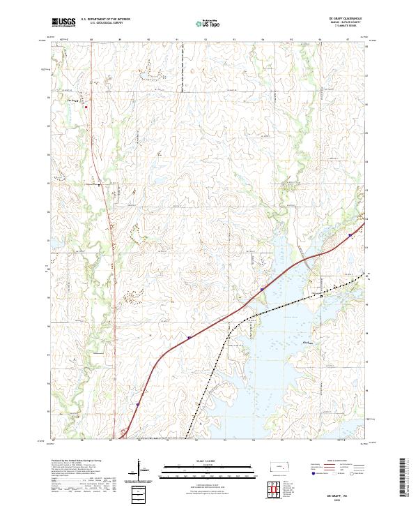
1961 De Graff
Butler County, KS
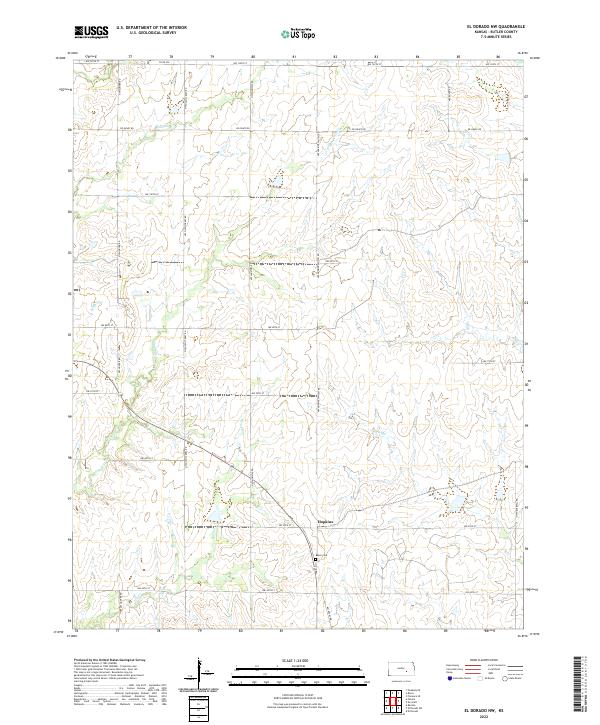
1961 El Dorado NW
Butler County, KS

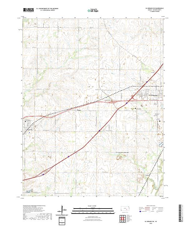
1961 El Dorado SW
Butler County, KS
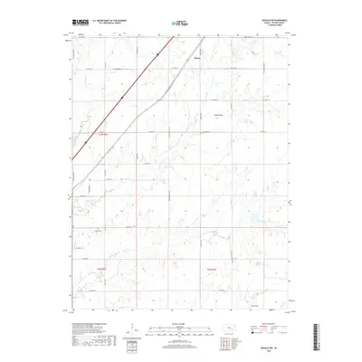
1961 Gordon
Butler County, KS

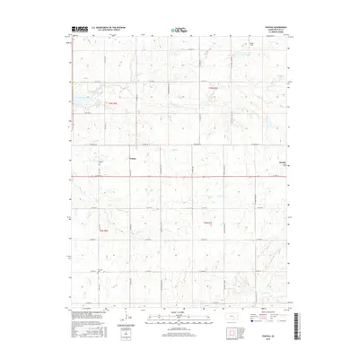
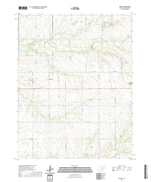
1961 Pontiac
Butler County, KS

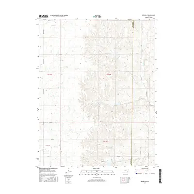
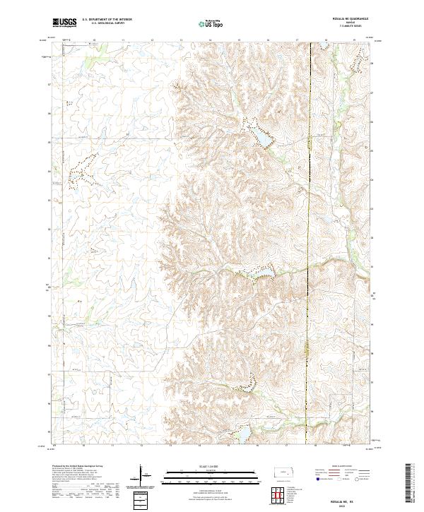
1961 Rosalia NE
Butler County, KS
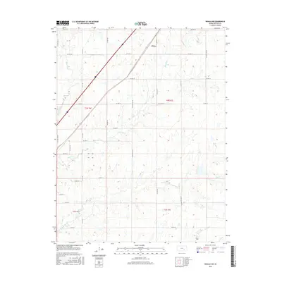
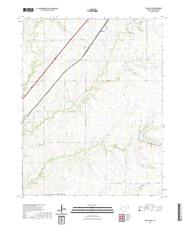
1961 Rosalia NW
Butler County, KS

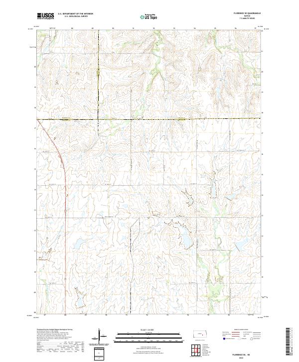
1962 Florence SE
Butler County, KS

1962 Peabody SE
Butler County, KS
1964 Augusta SE
Butler County, KS
1964 Keighley
Butler County, KS
1964 Latham SE
Butler County, KS

1967 Matfield Green SE
Butler County, KS
2009 Augusta SE
Butler County, KS
2009 El Dorado NW
Butler County, KS
2009 Florence SE
Butler County, KS
2009 Gordon
Butler County, KS
2009 Latham SE
Butler County, KS
2009 Matfield Green SE
Butler County, KS
2009 Peabody SE
Butler County, KS
2009 Pontiac
Butler County, KS
2009 Rosalia NW
Butler County, KS
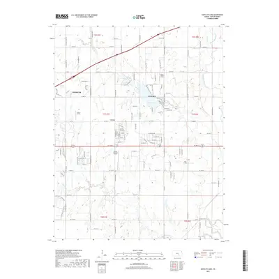
2009 Santa Fe Lake
Butler County, KS
2010 De Graff
Butler County, KS
2010 El Dorado SW
Butler County, KS
2010 Keighley
Butler County, KS
2010 Rosalia NE
Butler County, KS
2012 Augusta SE
Butler County, KS
2012 De Graff
Butler County, KS
2012 El Dorado NW
Butler County, KS
2012 El Dorado SW
Butler County, KS
2012 Florence SE
Butler County, KS
2012 Gordon
Butler County, KS
2012 Keighley
Butler County, KS
2012 Latham SE
Butler County, KS
2012 Matfield Green SE
Butler County, KS
2012 Peabody SE
Butler County, KS
2012 Pontiac
Butler County, KS
2012 Rosalia NE
Butler County, KS
2012 Rosalia NW
Butler County, KS
2012 Santa Fe Lake
Butler County, KS
2015 Augusta SE
Butler County, KS
2015 De Graff
Butler County, KS
2015 El Dorado NW
Butler County, KS
2015 El Dorado SW
Butler County, KS
2015 Florence SE
Butler County, KS
2015 Gordon
Butler County, KS
2015 Keighley
Butler County, KS
2015 Latham SE
Butler County, KS
2015 Matfield Green SE
Butler County, KS
2015 Peabody SE
Butler County, KS
2015 Pontiac
Butler County, KS
2015 Rosalia NE
Butler County, KS
2015 Rosalia NW
Butler County, KS
2015 Santa Fe Lake
Butler County, KS
2018 Augusta SE
Butler County, KS
2018 De Graff
Butler County, KS
2018 El Dorado NW
Butler County, KS
2018 El Dorado SW
Butler County, KS
2018 Florence SE
Butler County, KS
2018 Gordon
Butler County, KS
2018 Keighley
Butler County, KS
2018 Latham SE
Butler County, KS
2018 Matfield Green SE
Butler County, KS
2018 Peabody SE
Butler County, KS
2018 Pontiac
Butler County, KS
2018 Rosalia NE
Butler County, KS
2018 Rosalia NW
Butler County, KS
2018 Santa Fe Lake
Butler County, KS
2022 Augusta SE
Butler County, KS
2022 De Graff
Butler County, KS
2022 El Dorado NW
Butler County, KS
2022 El Dorado SW
Butler County, KS
2022 Florence SE
Butler County, KS
2022 Gordon
Butler County, KS
2022 Keighley
Butler County, KS
2022 Latham SE
Butler County, KS
2022 Matfield Green SE
Butler County, KS

2022 Peabody SE
Butler County, KS
2022 Pontiac
Butler County, KS
2022 Rosalia NE
Butler County, KS
2022 Rosalia NW
Butler County, KS
2022 Santa Fe Lake
Butler County, KS