
1970 Map of Gordon
USGS Topo · Published 1972About this map
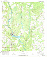
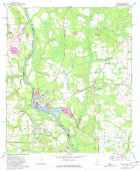
The Chattahoochee River forms the central artery of this 1970s landscape, serving as the border between Houston County, Alabama, and Early County, Georgia. This era of the river's history is defined by a transition from traditional landings like Shackleford Landing and Porters Landing to mid-century industrial development. The Great Northern Airport and several Industrial Waste Ponds signify the growth of local industry near Gordon, while the Seaboard Coast Line railroad continues to anchor the settlement at Alaga.
Find a feature on this map
44 named features on this map. Tap any name to fly to it.
Don’t see what you’re looking for? This feature index may not catch every label — zoom into the map to look around manually.
Map Details
Editions of this 1970 Gordon Map
3 editions found
Other maps of this area

1953 · Dothan
USGS Topo · 1:250,000

1954 · Dothan
USGS Topo · 1:250,000

1955 · Dothan
USGS Topo · 1:250,000
1970 · Saffold
USGS Topo · 1:24,000

1970 · Sigma
USGS Topo · 1:24,000

1970 · Columbia
USGS Topo · 1:24,000
1970 · Grangeburg
USGS Topo · 1:24,000
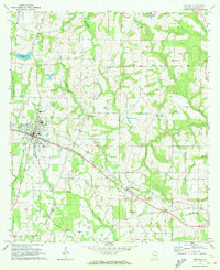
1970 · Ashford
USGS Topo · 1:24,000

1973 · Blakely South
USGS Topo · 1:24,000
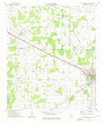
1974 · Donalsonville West
USGS Topo · 1:24,000