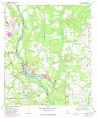
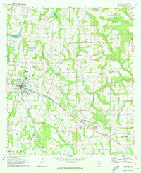
1970 Map of Gordon
USGS Topo · Published 1981About this map
The Chattahoochee River carves the border between Alabama and Georgia in this 1970 snapshot, where the town of Gordon serves as a focal point for regional transport. The landscape is defined by the intersection of traditional river landings and mid-century industrial development. A sprawling Industrial Waste Pond and nearby Filtration Plant indicate the presence of heavy industry, likely tied to the Chattahoochee Industrial Railroad and the Seaboard Coast Line that bisect the terrain.
Find a feature on this map
52 named features on this map. Tap any name to fly to it.
Don’t see what you’re looking for? This feature index may not catch every label — zoom into the map to look around manually.
Map Details
Editions of this 1970 Gordon Map
3 editions found
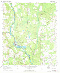
Other maps of this area

1953 · Dothan
USGS Topo · 1:250,000

1954 · Dothan
USGS Topo · 1:250,000

1955 · Dothan
USGS Topo · 1:250,000

1970 · Gordon
USGS Topo · 1:24,000
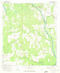
1970 · Saffold
USGS Topo · 1:24,000

1970 · Sigma
USGS Topo · 1:24,000

1970 · Columbia
USGS Topo · 1:24,000
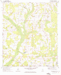
1970 · Grangeburg
USGS Topo · 1:24,000
1970 · Ashford
USGS Topo · 1:24,000

1973 · Blakely South
USGS Topo · 1:24,000