2021 Map of Gordon
USGS Topo · Published 2021About this map
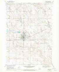
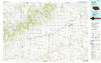
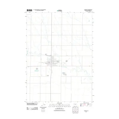
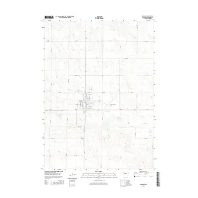
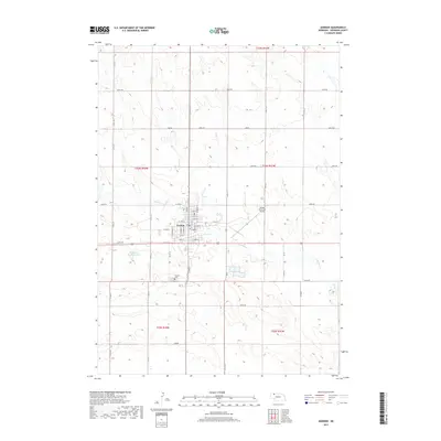
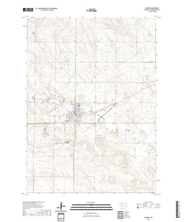
The town of Gordon serves as a central hub for this portion of Sheridan County, where the local street grid centers on N Main St and S Main St. The landscape is defined by the winding course of Antelope Creek, which is managed by several water control structures including Antelope Cr Reservoir 20-A and Antelope Cr Reservoir 40-B. This 2021 survey illustrates a transition in land use, showing the Cowboy Trl cutting across the terrain north of the urban center, repurposing an older transportation corridor for modern use. Surrounding the town, a systematic network of section roads like 650th Rd and 660th Rd facilitates access to the high plains ranching and agricultural lands. Notable civic landmarks include the Gordon Municipal Airport east of the town center and the Gordon Cem located to the south.
Find a feature on this map
51 named features on this map. Tap any name to fly to it.
Don’t see what you’re looking for? This feature index may not catch every label — zoom into the map to look around manually.
Map Details
Editions of this 2021 Gordon Map
This is the sole edition of this map. No revisions or reprints were ever made.
Historical Maps of Gordon Through Time
6 maps found