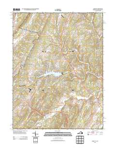
2013 Map of Gore
USGS Topo · Published 2013About this map
Lake Holiday serves as the central focal point of this Frederick County landscape, surrounded by a dense network of residential developments including Nordic Village, Fairway Heights, and Lakewood Acres. This residential concentration contrasts with the more traditional rural settlements of Gore, Gainesboro, and Whitacre that anchor the surrounding ridges and valleys. The area is significantly shaped by the presence of private aviation, evidenced by Jucapa Farms Airport, Al's Field Airport, and the Timber Ridge Airpark.
Find a feature on this map
165 named features on this map. Tap any name to fly to it.
Don’t see what you’re looking for? This feature index may not catch every label — zoom into the map to look around manually.
Map Details
Editions of this 2013 Gore Map
This is the sole edition of this map. No revisions or reprints were ever made.
Other maps of this area

1894 · Winchester
USGS Topo · 1:125,000

1914 · Gerrardstown
USGS Topo · 1:48,000

1916 · Gerrardstown
USGS Topo · 1:62,500

1916 · Capon Bridge
USGS Topo · 1:62,500

1923 · Middletown
USGS Topo · 1:62,500

1923 · Capon Bridge
USGS Topo · 1:62,500

1937 · Capon Bridge
USGS Topo · 1:48,000

1937 · Gerrardstown
USGS Topo · 1:48,000

1937 · Middletown
USGS Topo · 1:48,000

1938 · Winchester
USGS Topo · 1:48,000