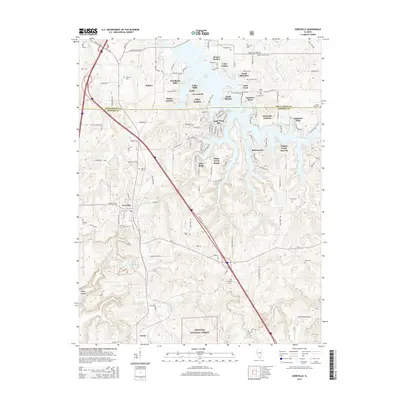
2015 Map of Goreville
USGS Topo · Published 2015About this map
Lake of Egypt dominates the northern landscape of this quadrangle, its intricate shoreline supporting a dense network of modern residential developments such as Sunset Harbor, Egyptian Acres, and Wagon Creek Heaven. South of these shoreline communities, the terrain transitions into the protected woodlands of the Shawnee National Forest. The village of Goreville sits at a crossroads of this transition, where Route 37 and the interstate cut through the hills. For family historians, the area is notably rich in small burial grounds scattered throughout the rural interior, including Meneese Cem, Mosley Cem, and Gibson Cem. The southern reach of the map is defined by the valley of Dutchman Creek and the small settlement of Omar, providing a clear view of the contrast between the developed northern lakeside and the more traditional forest and farmland landscapes to the south.
Find a feature on this map
136 named features on this map. Tap any name to fly to it.
Don’t see what you’re looking for? This feature index may not catch every label — zoom into the map to look around manually.
Map Details
Editions of this 2015 Goreville Map
This is the sole edition of this map. No revisions or reprints were ever made.
Other maps of this area

1918 · Vienna
USGS Topo · 1:62,500

1919 · Vienna
USGS Topo · 1:62,500

1920 · Dongola
USGS Topo · 1:62,500

1922 · Carbondale
USGS Topo · 1:62,500

1923 · Dongola
USGS Topo · 1:62,500

1925 · Marion
USGS Topo · 1:62,500

1940 · Marion
USGS Topo · 1:62,500

1941 · Carbondale
USGS Topo · 1:62,500

1942 · Vienna
USGS Topo · 1:62,500

1949 · Paducah
USGS Topo · 1:250,000