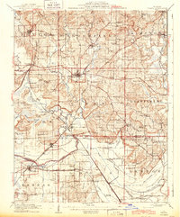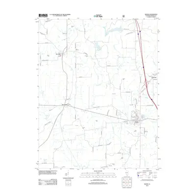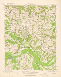
1942 Map of Vienna
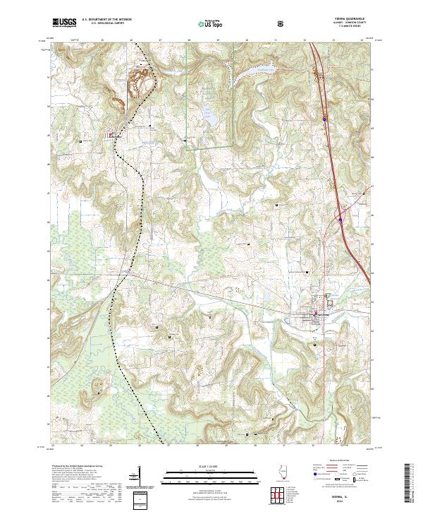
USGS Topo · Published 1958About this map
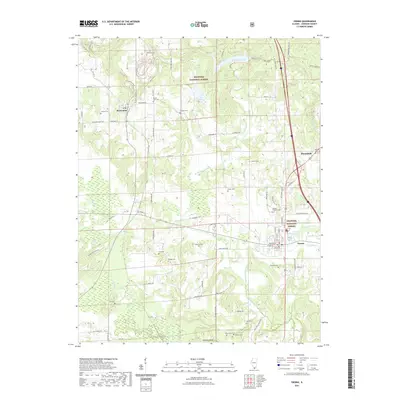
The Vienna township and its surrounding rural communities are captured here in the early 1940s, revealing a landscape defined by an extensive network of country schools and small settlements. The area south of the Cache River shows a sophisticated drainage system, including the Main Ditch and Post Creek Cutoff, which transformed the lowlands near Karnak and Belknap. A dense concentration of education sites such as Tall Tree School, Ridenhower School, and Veach School illustrates the distributed nature of local society before mid-century consolidation.
Find a feature on this map
98 named features on this map. Tap any name to fly to it.
Don’t see what you’re looking for? This feature index may not catch every label — zoom into the map to look around manually.
Map Details
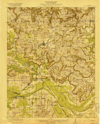
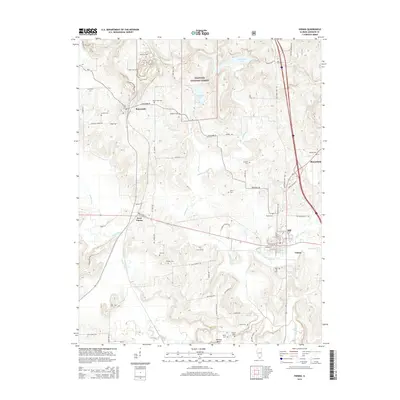
Editions of this 1942 Vienna Map
2 editions found
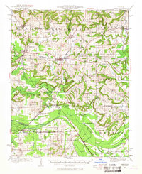
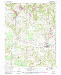
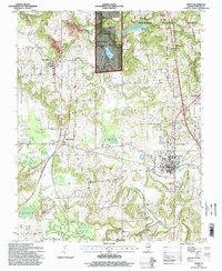
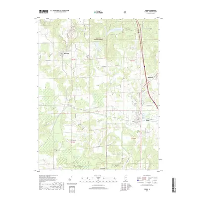
Historical Maps of Vienna Through Time
10 maps found