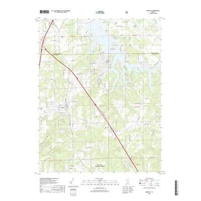
2018 Map of Goreville
USGS Topo · Published 2018About this map
The town of Goreville serves as the primary hub in this southern Illinois landscape, situated at the intersection of local routes and natural valleys. The northern portion of the map is dominated by the sprawling reaches of the Lake of Egypt, including Bethlehem Bay and Shawnee Bay, which significantly altered the local topography since the mid-20th century. To the south, the terrain transitions into the protected woodlands of the Shawnee National Forest, characterized by deep cuts like Gore Canyon and Crews Canyon. Genealogists will find a high density of burial sites scattered throughout the rural sections of both Williamson Co and Johnson Co, including the Meneese Cem, Mosley Cem, and Gibson Cem. The presence of smaller water bodies such as Ferne Clyffe Lake and Little Saline Cr reflects the complex drainage patterns that define the region's geography.
Find a feature on this map
124 named features on this map. Tap any name to fly to it.
Don’t see what you’re looking for? This feature index may not catch every label — zoom into the map to look around manually.
Map Details
Editions of this 2018 Goreville Map
This is the sole edition of this map. No revisions or reprints were ever made.
Other maps of this area

1918 · Vienna
USGS Topo · 1:62,500

1919 · Vienna
USGS Topo · 1:62,500

1920 · Dongola
USGS Topo · 1:62,500

1922 · Carbondale
USGS Topo · 1:62,500

1923 · Dongola
USGS Topo · 1:62,500

1925 · Marion
USGS Topo · 1:62,500

1940 · Marion
USGS Topo · 1:62,500

1941 · Carbondale
USGS Topo · 1:62,500

1942 · Vienna
USGS Topo · 1:62,500

1949 · Paducah
USGS Topo · 1:250,000