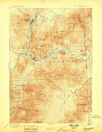
1893 Map of Gorham
USGS Topo · Published 1898About this map
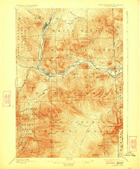
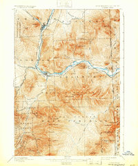
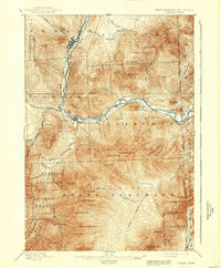
The industrial and natural landscape of northern New Hampshire at the close of the 19th century is centered on the Androscoggin River, where the Grand Trunk Railroad and the Boston and Maine rail lines converge at Berlin and Berlin Falls. This 1891 survey, published by the U.S. Geological Survey under director Charles D. Walcott, captures the transition from the bustling river-side settlements to the massive peaks of the White Mountains. To the south, the map details the high elevations of Carter Dome and Wildcat Mtn., while identifying early tourism markers such as the Glen House and the Madison Path. The complex administrative boundaries of the era are also clearly delineated, including the Martin Location, Bean Purchase, and the Pinkham Grant, offering a precise record of land divisions before the modern expansion of forest preserves.
Find a feature on this map
76 named features on this map. Tap any name to fly to it.
Don’t see what you’re looking for? This feature index may not catch every label — zoom into the map to look around manually.
Map Details
Editions of this 1893 Gorham Map
8 editions found
Other maps of this area

1893 · Mt. Washington
USGS Topo · 1:62,500

1893 · Gorham
USGS Topo · 1:62,500

1894 · North Conway
USGS Topo · 1:62,500

1895 · Crawford Notch
USGS Topo · 1:62,500

1896 · Mt. Washington
USGS Topo · 1:62,500

1896 · Crawford Notch
USGS Topo · 1:62,500

1896 · North Conway
USGS Topo · 1:62,500

1896 · Gorham
USGS Topo · 1:62,500

1909 · Fryeburg
USGS Topo · 1:62,500

1911 · Fryeburg
USGS Topo · 1:62,500