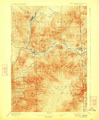
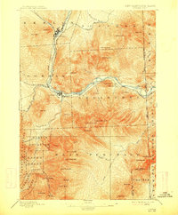
1893 Map of Gorham
USGS Topo · Published 1923About this map
Berlin and Berlin Falls anchor the northern industrial landscape of this late 19th-century survey, where the Androscoggin River served as a vital power source and transport corridor. The convergence of the Grand Trunk Railroad and the Boston and Maine Railroad at Gorham highlights the region's importance as a transportation hub for timber and tourism. To the south, the massive peaks of the White Mountain National Forest dominate the terrain, including landmarks like Mt. Moriah, Carter Dome, and the distinctive rock formation known as The Imp.
Find a feature on this map
71 named features on this map. Tap any name to fly to it.
Don’t see what you’re looking for? This feature index may not catch every label — zoom into the map to look around manually.
Map Details
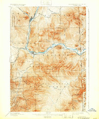
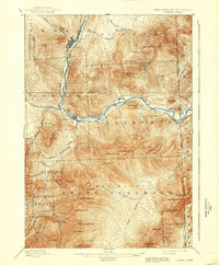
Editions of this 1893 Gorham Map
8 editions found
Other maps of this area

1893 · Mt. Washington
USGS Topo · 1:62,500

1893 · Gorham
USGS Topo · 1:62,500

1894 · North Conway
USGS Topo · 1:62,500

1895 · Crawford Notch
USGS Topo · 1:62,500

1896 · Mt. Washington
USGS Topo · 1:62,500

1896 · Crawford Notch
USGS Topo · 1:62,500

1896 · North Conway
USGS Topo · 1:62,500

1896 · Gorham
USGS Topo · 1:62,500

1909 · Fryeburg
USGS Topo · 1:62,500

1911 · Fryeburg
USGS Topo · 1:62,500