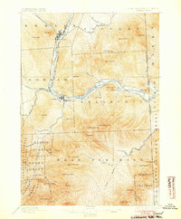
1893 Map of Gorham
USGS Topo · Published 1904About this map
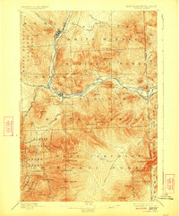
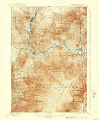
Androscoggin River serves as the industrial and transit spine of this late 19th-century New Hampshire landscape, where the Grand Trunk Railroad and the Boston and Maine R. R. converge at Berlin and Berlin Falls. The map documents a rugged timber and early tourism economy, evidenced by the isolation of Shelburne and the presence of the Glen House near the base of the Presidential Range. The terrain is dominated by significant peaks such as Mt. Moriah, Carter Dome, and Shelburne Moriah Mtn., with the New Hampshire Maine Boundary Line clearly demarcating the eastern edge of Coos County. Numerous grants and purchases, including the Pinkham Grant and Bean Purchase, reflect the complex land-holding history of the White Mountains during this era of heavy logging and emerging recreational interest.
Find a feature on this map
72 named features on this map. Tap any name to fly to it.
Don’t see what you’re looking for? This feature index may not catch every label — zoom into the map to look around manually.
Map Details
Editions of this 1893 Gorham Map
8 editions found
Other maps of this area

1893 · Mt. Washington
USGS Topo · 1:62,500

1893 · Gorham
USGS Topo · 1:62,500

1894 · North Conway
USGS Topo · 1:62,500

1895 · Crawford Notch
USGS Topo · 1:62,500

1896 · Mt. Washington
USGS Topo · 1:62,500

1896 · Crawford Notch
USGS Topo · 1:62,500

1896 · North Conway
USGS Topo · 1:62,500

1896 · Gorham
USGS Topo · 1:62,500

1909 · Fryeburg
USGS Topo · 1:62,500

1911 · Fryeburg
USGS Topo · 1:62,500